Loading...
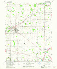
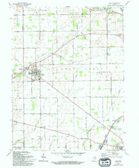
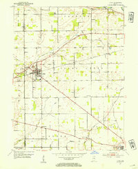
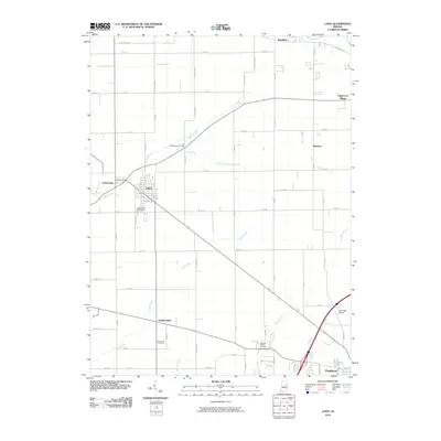
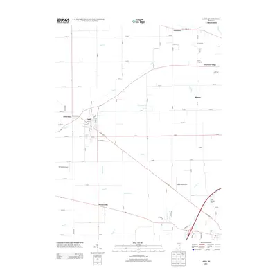
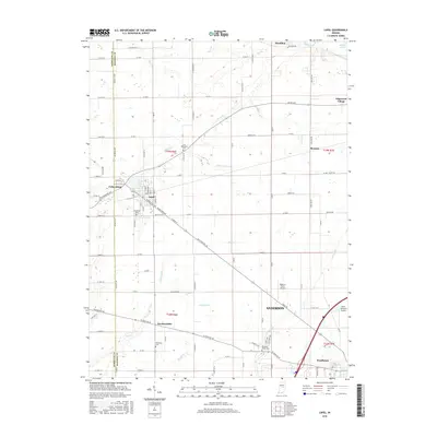
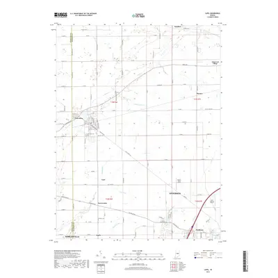
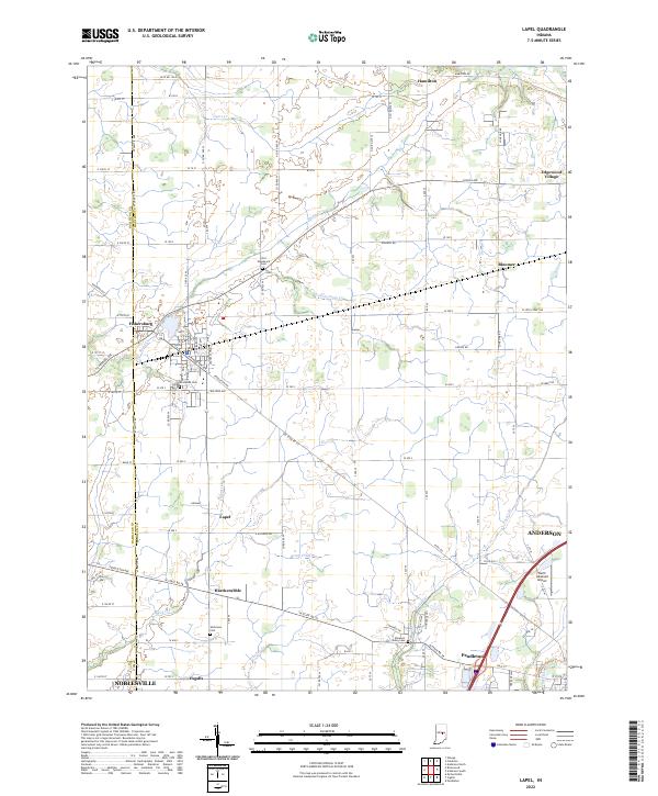
Loading map...1967 Map of Lapel
USGS Topo · Published 1968About this map
The Central Indiana rail line serves as a central artery for the agricultural and industrial landscape of western Madison County in the late 1960s. Lapel is the primary hub of this area, where a Quarry, Reservoir, and Township School reflect a community shaped by both local industry and civic development. Along the banks of Stony Creek, the smaller settlement of Fishersburg sits just across the county line, while the town of Pendleton anchors the southeastern corner where Fall Creek and Foster Branch meet.
Find a feature on this map
62 named features on this map. Tap any name to fly to it.
Don’t see what you’re looking for? This feature index may not catch every label — zoom into the map to look around manually.
Map Details
Date Portrayed1967
Date Published1968
PublisherU.S. Geological Survey
Map TypeTopographic
Scale1:24,000
Physical Dimensions22 x 27 inches
Editions of this 1967 Lapel Map
2 editions found
Historical Maps of Noblesville Through Time
7 maps found
Featured Locations
Source Details
SourceU.S. Geological Survey
CopyrightPublic Domain