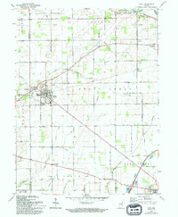
1967 Map of Lapel
USGS Topo · Published 1994About this map
Lapel serves as a primary hub of activity in this Madison County landscape, where the local economy is visibly shaped by industrial and agricultural pursuits. Near the town center, a Quarry and Gravel Pit indicate the local extraction of resources, while the Township Sch and Brookside Cem anchor the community's civic life. To the west, the settlement of Fishersburg sits at the crossing of Stony Creek, and the presence of a Landing Strip nearby reflects mid-century transportation developments.
Find a feature on this map
61 named features on this map. Tap any name to fly to it.
Don’t see what you’re looking for? This feature index may not catch every label — zoom into the map to look around manually.
Map Details
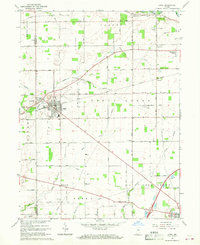
Editions of this 1967 Lapel Map
2 editions found
Other maps of this area

1952 · Ingalls
USGS Topo · 1:24,000

1952 · Mc Cordsville
USGS Topo · 1:24,000

1952 · Anderson
USGS Topo · 1:24,000

1953 · Pendleton
USGS Topo · 1:24,000

1953 · Lapel
USGS Topo · 1:24,000

1953 · Riverwood
USGS Topo · 1:24,000

1953 · Cincinnati
USGS Topo · 1:250,000

1953 · Muncie
USGS Topo · 1:250,000

1956 · Muncie
USGS Topo · 1:250,000

1957 · Cincinnati
USGS Topo · 1:250,000