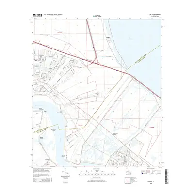
2015 Map of Laplace
USGS Topo · Published 2015About this map
The Mississippi River winds through this landscape, defining the transition between the developed riverfront and the expansive Bonnet Carre Floodway. In the early 21st century, the residential growth of Laplace and Belle Terre contrasts with the managed wetlands designed to protect the region from river surges. Evidence of the area's older history remains visible at the Montz Cem near the riverbank and in the small riverside settlements of Lucy and Montz.
Find a feature on this map
136 named features on this map. Tap any name to fly to it.
Don’t see what you’re looking for? This feature index may not catch every label — zoom into the map to look around manually.
Map Details
Editions of this 2015 Laplace Map
This is the sole edition of this map. No revisions or reprints were ever made.
Other maps of this area

1891 · Hahnville
USGS Topo · 1:62,500

1892 · Lac Des Allemands
USGS Topo · 1:62,500

1892 · Mount Airy
USGS Topo · 1:62,500

1892 · Bonnet Carre
USGS Topo · 1:62,500

1932 · Hahnville NW
USGS Topo · 1:31,680

1932 · Lac Des Allemands NE
USGS Topo · 1:31,680

1932 · Hahnville NE
USGS Topo · 1:31,680

1935 · Laplace
USGS Topo · 1:31,680

1935 · Luling
USGS Topo · 1:31,680

1936 · Hahnville
USGS Topo · 1:31,680