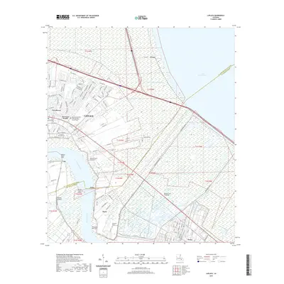
2020 Map of Laplace
USGS Topo · Published 2020About this map
The Mississippi River meanders through this portion of St. John the Baptist Parish, shaping a landscape defined by its proximity to the massive Bonnet Carre Floodway. This engineered flood control system dominates the geography between Montz and Norco, serving as a critical relief valve for the river. The residential expansion of LaPlace is evident in the dense street grids of neighborhoods like Riverland Heights and Carrollwood, while the community of Lucy sits on the opposite bank.
Find a feature on this map
121 named features on this map. Tap any name to fly to it.
Don’t see what you’re looking for? This feature index may not catch every label — zoom into the map to look around manually.
Map Details
Editions of this 2020 Laplace Map
This is the sole edition of this map. No revisions or reprints were ever made.
Other maps of this area

1891 · Hahnville
USGS Topo · 1:62,500

1892 · Lac Des Allemands
USGS Topo · 1:62,500

1892 · Mount Airy
USGS Topo · 1:62,500

1892 · Bonnet Carre
USGS Topo · 1:62,500

1932 · Hahnville NW
USGS Topo · 1:31,680

1932 · Lac Des Allemands NE
USGS Topo · 1:31,680

1932 · Hahnville NE
USGS Topo · 1:31,680

1935 · Laplace
USGS Topo · 1:31,680

1935 · Luling
USGS Topo · 1:31,680

1936 · Hahnville
USGS Topo · 1:31,680