2024 Map of Laplace
USGS Topo · Published 2024About this map
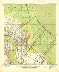
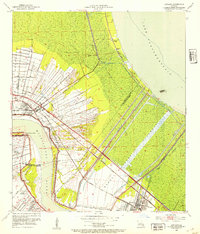
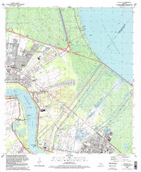
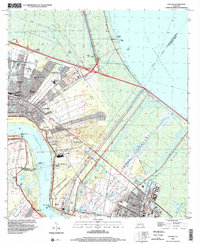
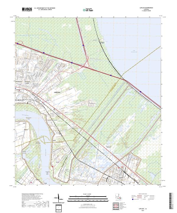
The Bonnet Carre Floodway dominates this river-bend landscape, cutting a wide swathe through the lowlands between the Mississippi River and Lake Pontchartrain. This massive engineering feature shapes the settlement patterns of St. John the Baptist and St. Charles Parishes, separating the community of Laplace from Montz and Norco to the east. Along the river banks, traditional river-road settlements like Edgard, Lucy, and Killona maintain their historic orientation toward the water, while newer developments such as Riverland Heights and Carrollwood expand inland.
Find a feature on this map
52 named features on this map. Tap any name to fly to it.
Don’t see what you’re looking for? This feature index may not catch every label — zoom into the map to look around manually.
Map Details
Editions of this 2024 Laplace Map
This is the sole edition of this map. No revisions or reprints were ever made.
Historical Maps of Frenier Through Time
6 maps found