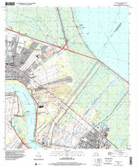
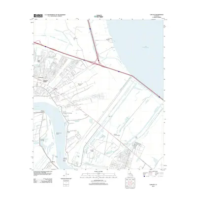
1998 Map of Laplace
USGS Topo · Published 2001About this map
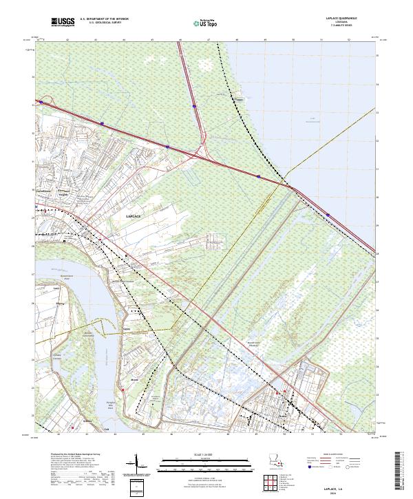
The Bonnet Carre Floodway dominates the landscape between the Mississippi River and Lake Pontchartrain, serving as a critical piece of water management infrastructure. This late 1990s environment shows the heavy industrial and energy footprint of the region, evidenced by the Laplace Oil and Gas Field and the Norco Oil and Gas Field. Communities like Laplace and Norco are shown in detail, alongside smaller settlements such as Frenier and Montz.
Find a feature on this map
43 named features on this map. Tap any name to fly to it.
Don’t see what you’re looking for? This feature index may not catch every label — zoom into the map to look around manually.
Map Details
Editions of this 1998 Laplace Map
This is the sole edition of this map. No revisions or reprints were ever made.
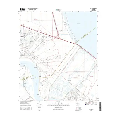
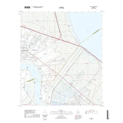
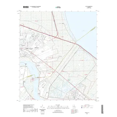
Historical Maps of LaPlace Through Time
10 maps found
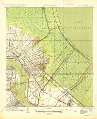
1935 Laplace
St. John the Baptist Parish, LA
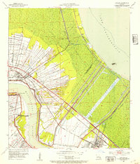
1952 Laplace
St. John the Baptist Parish, LA

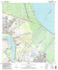
1967 Laplace
St. John the Baptist Parish, LA
1992 Laplace
St. John the Baptist Parish, LA
1998 Laplace
St. John the Baptist Parish, LA
2012 Laplace
St. John the Baptist Parish, LA
2015 Laplace
St. John the Baptist Parish, LA
2018 Laplace
St. John the Baptist Parish, LA
2020 Laplace
St. John the Baptist Parish, LA
2024 Laplace
St. John the Baptist Parish, LA