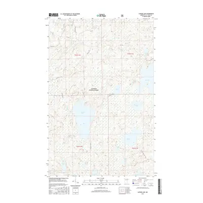
2016 Map of Lapond Lake
USGS Topo · Published 2016About this map
Superior National Forest defines the character of this northern landscape, where an intricate network of glacial lakes and waterways remains largely untouched. The Portage River winds through the northern half of the quadrangle, connecting Third Lake and Big Lake to the drainage of Bill Cr and Tubfull Cr. These water routes, along with the Echo Trail road, reflect the long-standing recreational and resource-based economy of the region.
Find a feature on this map
25 named features on this map. Tap any name to fly to it.
Don’t see what you’re looking for? This feature index may not catch every label — zoom into the map to look around manually.
Map Details
Editions of this 2016 Lapond Lake Map
This is the sole edition of this map. No revisions or reprints were ever made.
Other maps of this area

1933 · Ely
USGS Topo · 1:62,500

1939 · Ely
USGS Topo · 1:62,500

1954 · Two Harbors
USGS Topo · 1:250,000

1954 · Hibbing
USGS Topo · 1:250,000

1954 · International Falls
USGS Topo · 1:250,000

1956 · Chad Lake
USGS Topo · 1:24,000

1956 · Crab Lake
USGS Topo · 1:24,000

1957 · Two Harbors
USGS Topo · 1:250,000

1957 · Hibbing
USGS Topo · 1:250,000

1957 · International Falls
USGS Topo · 1:250,000