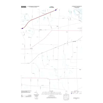
2013 Map of LaPorte West
USGS Topo · Published 2013About this map
Durham, Pinola, and Door Village anchor this landscape of the Indiana lake country, where a dense network of county roads reflects a long history of small-town settlement and agricultural subdivision. The eastern edge of the map reveals the recreational and community hubs of the LaPorte area, including the Laporte Fair Grounds and a string of glacial water bodies such as Pine Lake, Stone Lake, and Crane Lake. The drainage of Mill Creek winds through the central and southern sections, illustrating the natural lowlands that separate the various rural hamlets. This 2013 survey provides a clear view of the area's modern infrastructure, including the Indiana Toll Road corridor, while preserving the location of established communities like Pinhook and Magee that have defined the county's social geography for generations.
Find a feature on this map
75 named features on this map. Tap any name to fly to it.
Don’t see what you’re looking for? This feature index may not catch every label — zoom into the map to look around manually.
Map Details
Editions of this 2013 LaPorte West Map
This is the sole edition of this map. No revisions or reprints were ever made.
Other maps of this area

1953 · Wanatah
USGS Topo · 1:24,000

1953 · Westville
USGS Topo · 1:24,000

1953 · Michigan City West
USGS Topo · 1:24,000

1953 · Chicago
USGS Topo · 1:250,000

1957 · Chicago
USGS Topo · 1:250,000

1958 · Hanna
USGS Topo · 1:24,000

1958 · Kingsford Heights
USGS Topo · 1:24,000

1958 · Michigan City East
USGS Topo · 1:24,000

1958 · La Porte East
USGS Topo · 1:24,000

1958 · Springville
USGS Topo · 1:24,000