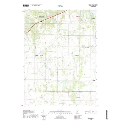
2019 Map of LaPorte West
USGS Topo · Published 2019About this map
The western edges of La Porte meet a landscape of glacial kettle lakes and wetland preserves in this late-decade survey. A prominent section of the Indiana Dunes National Park occupies the northern reaches, protecting unique ecological sites like Pinhook Bog and Swede Lake. The rural character of the county is evident in the scatter of small settlements and historical crossroads, including Pinola, Durham, and Pinhook.
Find a feature on this map
70 named features on this map. Tap any name to fly to it.
Don’t see what you’re looking for? This feature index may not catch every label — zoom into the map to look around manually.
Map Details
Editions of this 2019 LaPorte West Map
This is the sole edition of this map. No revisions or reprints were ever made.
Other maps of this area

1953 · Wanatah
USGS Topo · 1:24,000

1953 · Westville
USGS Topo · 1:24,000

1953 · Michigan City West
USGS Topo · 1:24,000

1953 · Chicago
USGS Topo · 1:250,000

1957 · Chicago
USGS Topo · 1:250,000

1958 · Hanna
USGS Topo · 1:24,000

1958 · Kingsford Heights
USGS Topo · 1:24,000

1958 · Michigan City East
USGS Topo · 1:24,000

1958 · La Porte East
USGS Topo · 1:24,000

1958 · Springville
USGS Topo · 1:24,000