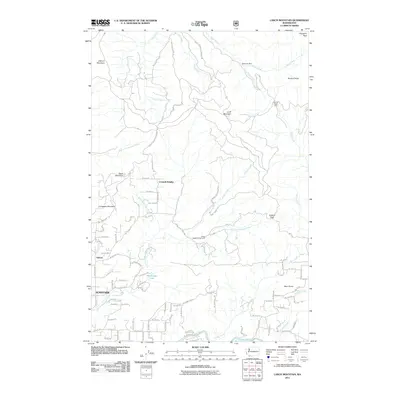
2011 Map of Larch Mountain
USGS Topo · Published 2011About this map
Larch Mountain stands at the heart of this landscape, surrounded by the dense drainages of the Yacolt Burn State Forest. The terrain is defined by its dramatic elevations, ranging from peaks like Elkhorn Mountain and Sturgeon Rock in the north to the more settled foothills in the south. The hydrological network is dense, with the Washougal River and Little Washougal River carving paths through the forest. Evidence of the region's industrial and recreational history is seen in the Silver Star Mine and the Jones Creek Campground. Small residential pockets like Creswell Heights and Livingston Mountain appear nestled between the high ridges and the river valleys. To the southwest, the community of Sunnyside and the smaller Ireland area represent the shift from the mountain wilderness toward the more developed lands of Clark County. This survey captures a moment of modern forest management and rural habitation just north of the Columbia River gorge.
Find a feature on this map
84 named features on this map. Tap any name to fly to it.
Don’t see what you’re looking for? This feature index may not catch every label — zoom into the map to look around manually.
Map Details
Editions of this 2011 Larch Mountain Map
This is the sole edition of this map. No revisions or reprints were ever made.
Other maps of this area

1918 · Troutdale
USGS Topo · 1:62,500

1934 · Troutdale
USGS Topo · 1:48,000

1940 · Lookout Mtn
USGS Topo · 1:62,500

1941 · Yacolt
USGS Topo · 1:62,500

1941 · Camas
USGS Topo · 1:62,500

1942 · Camas
USGS Topo · 1:62,500

1948 · Vancouver
USGS Topo · 1:250,000

1950 · Vancouver
USGS Topo · 1:250,000

1950 · Vancouver
USGS Topo · 1:250,000

1953 · Lookout Mtn
USGS Topo · 1:62,500