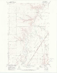
1970 Map of Laredo
USGS Topo · Published 1973About this map
Big Sandy Creek meanders through the heart of this North Central Montana landscape, defining a network of drainage coulees and seasonal water sources. The map reveals a transition from the agricultural Flats to the northern edge of the Rocky Boys Indian Reservation, showing a land shaped by both traditional boundaries and early transportation corridors. The historic Old Fort Assinniboine Military Road cuts across the terrain, a relic of frontier-era logistics that parallels the modern infrastructure of the Burlington Northern railroad.
Find a feature on this map
23 named features on this map. Tap any name to fly to it.
Don’t see what you’re looking for? This feature index may not catch every label — zoom into the map to look around manually.
Map Details
Editions of this 1970 Laredo Map
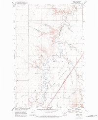
2 editions found
Other maps of this area

1904 · Assinniboine
USGS Topo · 1:62,500

1904 · Boxelder
USGS Topo · 1:62,500

1906 · Kremlin
USGS Topo · 1:62,500

1906 · Boxelder
USGS Topo · 1:62,500

1912 · Thibedeau Lake
USGS Topo · 1:125,000

1919 · Big Sandy
USGS Topo · 1:125,000

1920 · Gildford
USGS Topo · 1:125,000

1943 · Gildford
USGS Topo · 1:125,000

1953 · Havre
USGS Topo · 1:250,000

1954 · Shelby
USGS Topo · 1:250,000