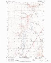
1970 Map of Laredo
USGS Topo · Published 1984About this map
Laredo sits at the eastern edge of this landscape, positioned where the Burlington Northern railroad corridor meets the winding path of Big Sandy Creek. This 1970 field check documents a rural territory defined by its history of land division and reservation boundaries, specifically where the Rocky Boys Indian Res and the Laredo Reservation meet. The terrain is deeply scored by numerous coulees, such as Antelope Coulee and Schwartz Coulee, which drain toward the central creek system.
Find a feature on this map
25 named features on this map. Tap any name to fly to it.
Don’t see what you’re looking for? This feature index may not catch every label — zoom into the map to look around manually.
Map Details
Editions of this 1970 Laredo Map
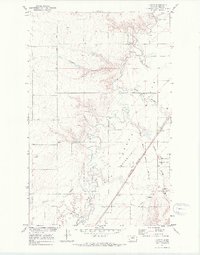
2 editions found
Other maps of this area

1904 · Assinniboine
USGS Topo · 1:62,500

1904 · Boxelder
USGS Topo · 1:62,500

1906 · Kremlin
USGS Topo · 1:62,500

1906 · Boxelder
USGS Topo · 1:62,500

1912 · Thibedeau Lake
USGS Topo · 1:125,000

1919 · Big Sandy
USGS Topo · 1:125,000

1920 · Gildford
USGS Topo · 1:125,000

1943 · Gildford
USGS Topo · 1:125,000

1953 · Havre
USGS Topo · 1:250,000

1954 · Shelby
USGS Topo · 1:250,000