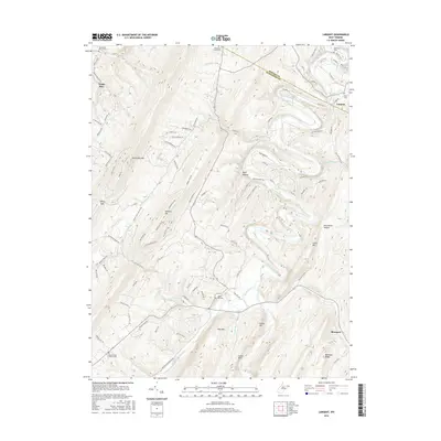
2016 Map of Largent
USGS Topo · Published 2016About this map
Cacapon River curves through this corner of the Appalachian mountains, defining the rugged geography between Morgan and Hampshire counties. The landscape is characterized by prominent ridges including Spring Gap Mtn, Sideling Hill, and Pine Mtn, which separate narrow valleys where small settlements like Largent and Bloomery are situated. The area's social history is recorded through its many rural cemeteries and churches, such as Old Bethel Church Cem and Mount Union Church Cem.
Find a feature on this map
106 named features on this map. Tap any name to fly to it.
Don’t see what you’re looking for? This feature index may not catch every label — zoom into the map to look around manually.
Map Details
Editions of this 2016 Largent Map
This is the sole edition of this map. No revisions or reprints were ever made.
Other maps of this area

1891 · Romney
USGS Topo · 1:125,000

1894 · Winchester
USGS Topo · 1:125,000

1898 · Paw Paw
USGS Topo · 1:62,500

1899 · Flintstone
USGS Topo · 1:62,500

1900 · Pawpaw
USGS Topo · 1:62,500

1900 · Flintstone
USGS Topo · 1:62,500

1910 · Paw Paw
USGS Topo · 1:62,500

1916 · Capon Bridge
USGS Topo · 1:62,500

1921 · Hanging Rock
USGS Topo · 1:48,000

1923 · Capon Bridge
USGS Topo · 1:62,500