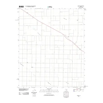
2010 Map of Lariat
USGS Topo · Published 2010About this map
Lariat and West Camp define the human landscape of this section of the Texas Panhandle, where the high plains are etched by the ancient drainage patterns of Progress Draw, Lariat Draw, and Blackwater Draw. The map reveals a strictly organized grid of agricultural section roads, intersected diagonally by the path of Highway 70 84 as it cuts across the northwest. This 2010 survey illustrates the persistence of small rural communities in Bailey County, anchored by local landmarks such as Lariat Cemetery and West Camp Cemetery. The infrastructure is characterized by a network of Farm to Market roads, including Fm 1731 and Fm 3125, which facilitate movement across this expansive ranching and farming territory. The presence of Loop 403 near the settlement of Lariat suggests a localized pocket of activity within the broader geometric precision of the Panhandle's rural landscape.
Find a feature on this map
25 named features on this map. Tap any name to fly to it.
Don’t see what you’re looking for? This feature index may not catch every label — zoom into the map to look around manually.
Map Details
Editions of this 2010 Lariat Map
This is the sole edition of this map. No revisions or reprints were ever made.
Other maps of this area

1954 · Clovis
USGS Topo · 1:250,000

1957 · Clovis
USGS Topo · 1:62,500

1957 · Arch
USGS Topo · 1:62,500

1958 · Clovis
USGS Topo · 1:250,000

1962 · Birdwell Ranch
USGS Topo · 1:24,000

1962 · Baileyboro NE
USGS Topo · 1:24,000

1963 · Lariat
USGS Topo · 1:24,000

1963 · Oklahoma Lane
USGS Topo · 1:24,000

1963 · Lariat NE
USGS Topo · 1:24,000

1963 · Progress
USGS Topo · 1:24,000