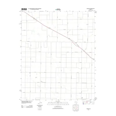
2012 Map of Lariat
USGS Topo · Published 2012About this map
Lariat and West Camp define this portion of the Texas Panhandle, where the landscape is organized into a rigid grid of agricultural roads. The settlement of Lariat sits at a junction along State Loop 403, while the smaller West Camp is located to the southwest. This area in Bailey County is characterized by large-scale farming operations, indicated by the extensive network of county roads such as Co Road BB and Co Road DD that divide the plains into precise rectangular sections.
Find a feature on this map
29 named features on this map. Tap any name to fly to it.
Don’t see what you’re looking for? This feature index may not catch every label — zoom into the map to look around manually.
Map Details
Editions of this 2012 Lariat Map
This is the sole edition of this map. No revisions or reprints were ever made.
Other maps of this area

1954 · Clovis
USGS Topo · 1:250,000

1957 · Clovis
USGS Topo · 1:62,500

1957 · Arch
USGS Topo · 1:62,500

1958 · Clovis
USGS Topo · 1:250,000

1962 · Birdwell Ranch
USGS Topo · 1:24,000

1962 · Baileyboro NE
USGS Topo · 1:24,000

1963 · Lariat
USGS Topo · 1:24,000

1963 · Oklahoma Lane
USGS Topo · 1:24,000

1963 · Lariat NE
USGS Topo · 1:24,000

1963 · Progress
USGS Topo · 1:24,000