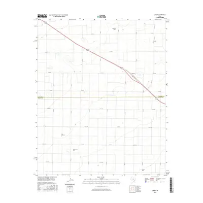
2016 Map of Lariat
USGS Topo · Published 2016About this map
Blackwater Draw and Progress Draw define the subtle drainage patterns of this high-plains landscape, where the border between Parmer and Bailey counties cuts across a grid of rural roads. The small settlement of Lariat serves as a focal point along the diagonal corridor of the highway, marked here by Loop 403. For family historians, the map provides precise locations for two important local burial sites: the Oklahoma Lane Cem in the northeastern quadrant and the West Camp Cem further south. The irrigation and agricultural nature of the region is evident in the dense network of county roads, such as Co RD Aa and Co RD 1008, which partition the territory into the large, circular patterns of center-pivot agriculture characteristic of the Texas Panhandle.
Find a feature on this map
30 named features on this map. Tap any name to fly to it.
Don’t see what you’re looking for? This feature index may not catch every label — zoom into the map to look around manually.
Map Details
Editions of this 2016 Lariat Map
This is the sole edition of this map. No revisions or reprints were ever made.
Other maps of this area

1954 · Clovis
USGS Topo · 1:250,000

1957 · Clovis
USGS Topo · 1:62,500

1957 · Arch
USGS Topo · 1:62,500

1958 · Clovis
USGS Topo · 1:250,000

1962 · Birdwell Ranch
USGS Topo · 1:24,000

1962 · Baileyboro NE
USGS Topo · 1:24,000

1963 · Lariat
USGS Topo · 1:24,000

1963 · Oklahoma Lane
USGS Topo · 1:24,000

1963 · Lariat NE
USGS Topo · 1:24,000

1963 · Progress
USGS Topo · 1:24,000