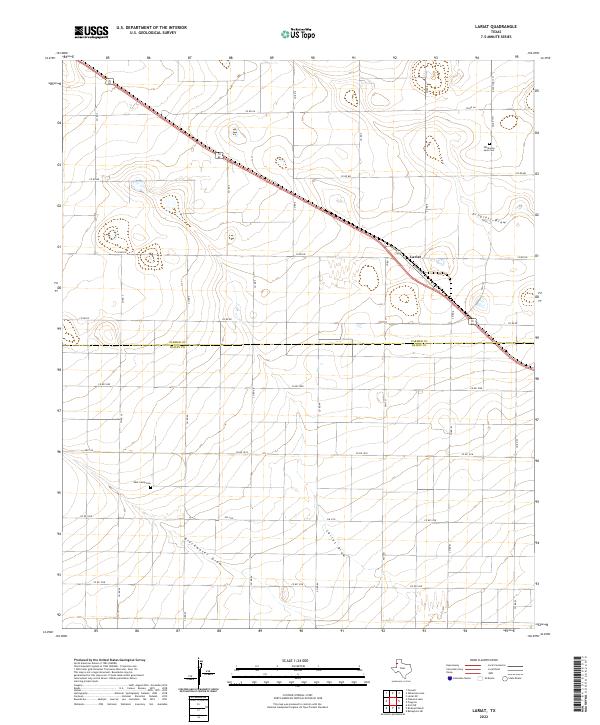
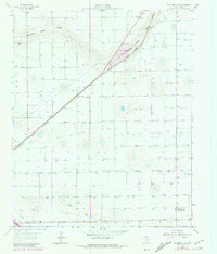
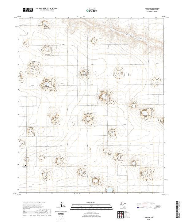
2022 Map of Lariat
USGS Topo · Published 2022This historical map portrays the area of Lariat in 2022, primarily covering Parmer County as well as portions of Bailey County. Featuring a scale of 1:24000, this map provides a highly detailed snapshot of the terrain, roads, buildings, counties, and historical landmarks in the Lariat region at the time. Published in 2022, it is the sole known edition of this map.
Map Details
Editions of this 2022 Lariat Map
This is the sole edition of this map. No revisions or reprints were ever made.
Historical Maps of Lariat Through Time
20 maps found
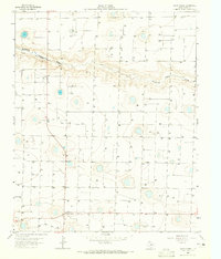
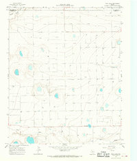
1963 Clays Corner
Parmer County, TX
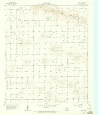
1963 Lariat NE
Parmer County, TX
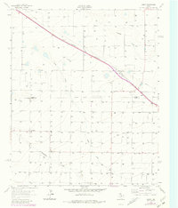
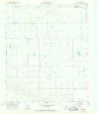
1963 Lariat
Parmer County, TX
1963 Lazbuddie
Parmer County, TX
1963 Oklahoma Lane
Parmer County, TX
1965 Hub
Parmer County, TX
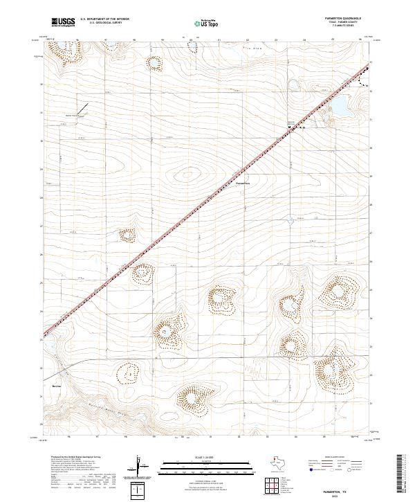
1965 Parmerton
Parmer County, TX
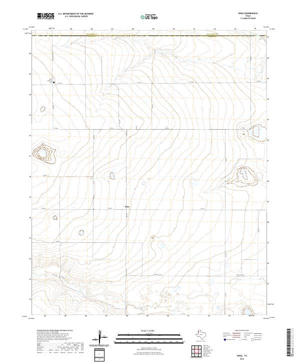
1965 Rhea
Parmer County, TX
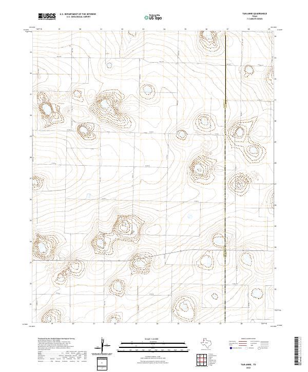
1965 Tam Anne
Parmer County, TX
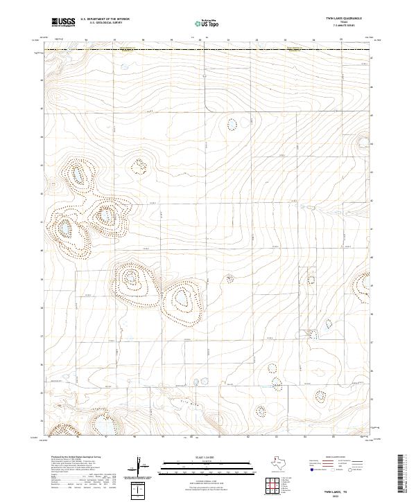
1965 Twin Lakes
Parmer County, TX
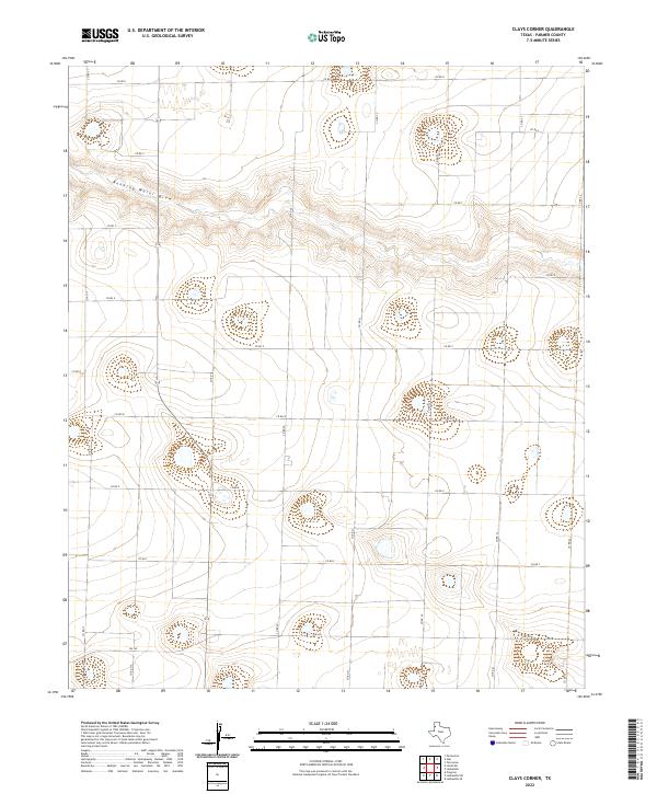
2022 Clays Corner
Parmer County, TX
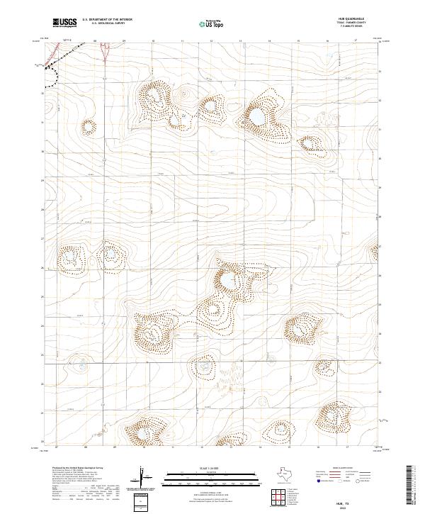
2022 Hub
Parmer County, TX
2022 Lariat NE
Parmer County, TX
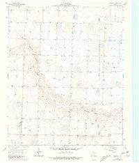
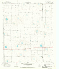
2022 Lariat
Parmer County, TX
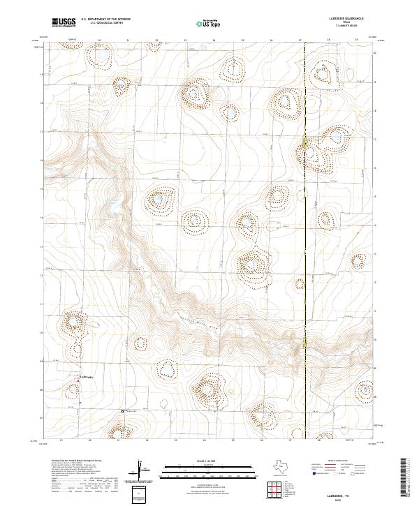
2022 Lazbuddie
Parmer County, TX
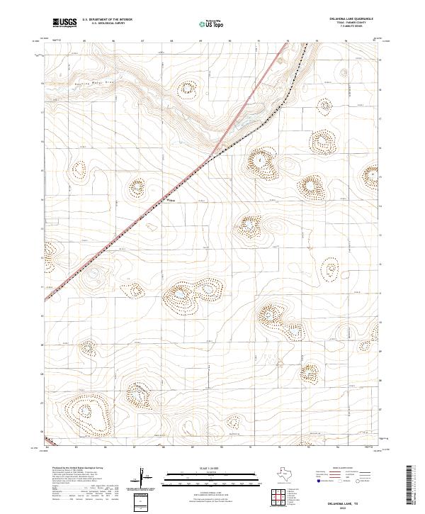
2022 Oklahoma Lane
Parmer County, TX
2022 Parmerton
Parmer County, TX
2022 Rhea
Parmer County, TX
2022 Tam Anne
Parmer County, TX
2022 Twin Lakes
Parmer County, TX