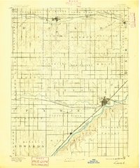
1891 Map of Larned
USGS Topo · Published 1895About this map
Larned serves as the regional hub in this late nineteenth-century survey, situated at the strategic confluence of the Pawnee River and the Arkansas River. The landscape is defined by the early expansion of the Atchison Topeka and Santa Fe Railroad, which parallels the Arkansas River through Garfield, and the Missouri Pacific Railway pushing west from the town center. The map reveals a highly structured prairie divided into named townships such as Pleasant Ridge and Ash Valley, reflecting the rapid civil organization of central Kansas. Waterways like Walnut Creek and Big Coon Creek are the primary natural landmarks, dictated by the flat, high plains topography. Small rail stops and settlements including Rush Centre, Nekoma, and Roselle mark the advancement of the agricultural frontier before many of these early railroad sidings evolved or faded.
Find a feature on this map
48 named features on this map. Tap any name to fly to it.
Don’t see what you’re looking for? This feature index may not catch every label — zoom into the map to look around manually.
Map Details
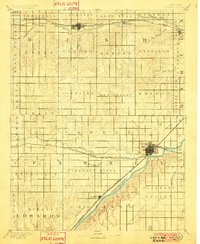
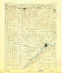
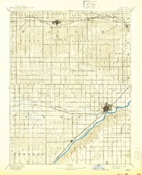
Editions of this 1891 Larned Map
5 editions found
Other maps of this area

1889 · Larned
USGS Topo · 1:125,000

1889 · Kinsley
USGS Topo · 1:125,000

1891 · Great Bend
USGS Topo · 1:125,000

1891 · Larned
USGS Topo · 1:125,000

1892 · Ness
USGS Topo · 1:125,000

1892 · Kinsley
USGS Topo · 1:125,000

1892 · Spearville
USGS Topo · 1:125,000

1892 · Pratt
USGS Topo · 1:125,000

1893 · Ellis
USGS Topo · 1:125,000

1893 · Great Bend
USGS Topo · 1:125,000