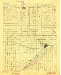
1891 Map of Larned
USGS Topo · Published 1901About this map
The Arkansas River serves as the primary geographical anchor for this late 19th-century survey of Pawnee and Rush counties. The settlement of Larned is shown at the critical junction where the Pawnee River meets the Arkansas, established as a major hub for the Atchison Topeka and Santa Fe Railroad. Further west along the line, the small outpost of Garfield marks the rail's progression through the river valley.
Find a feature on this map
47 named features on this map. Tap any name to fly to it.
Don’t see what you’re looking for? This feature index may not catch every label — zoom into the map to look around manually.
Map Details
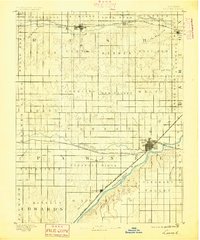
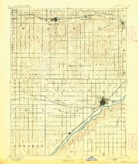
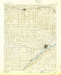
Editions of this 1891 Larned Map
5 editions found
Other maps of this area

1889 · Larned
USGS Topo · 1:125,000

1889 · Kinsley
USGS Topo · 1:125,000

1891 · Great Bend
USGS Topo · 1:125,000

1891 · Larned
USGS Topo · 1:125,000

1892 · Ness
USGS Topo · 1:125,000

1892 · Kinsley
USGS Topo · 1:125,000

1892 · Spearville
USGS Topo · 1:125,000

1892 · Pratt
USGS Topo · 1:125,000

1893 · Ellis
USGS Topo · 1:125,000

1893 · Great Bend
USGS Topo · 1:125,000