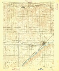
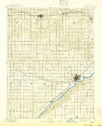
1891 Map of Larned
USGS Topo · Published 1891About this map
Larned serves as the central hub of this late-nineteenth-century Kansas landscape, situated at the strategic junction of the Pawnee River and the Arkansas River. The settlement pattern follows the established iron corridors of the Atchison Topeka and Santa Fe Railroad and the Missouri Pacific Railway, which facilitated the growth of smaller stops like Rush Centre, Nekoma, and Garfield.
Find a feature on this map
44 named features on this map. Tap any name to fly to it.
Don’t see what you’re looking for? This feature index may not catch every label — zoom into the map to look around manually.
Map Details
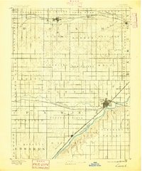
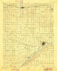
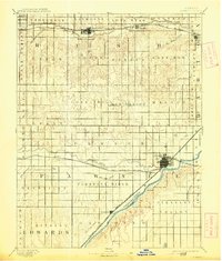
Editions of this 1891 Larned Map
5 editions found
Other maps of this area
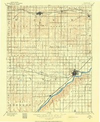
1889 · Larned
USGS Topo · 1:125,000
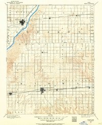
1889 · Kinsley
USGS Topo · 1:125,000
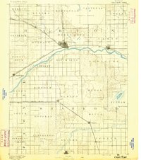
1891 · Great Bend
USGS Topo · 1:125,000
1892 · Ness
USGS Topo · 1:125,000
1892 · Kinsley
USGS Topo · 1:125,000
1892 · Spearville
USGS Topo · 1:125,000
1892 · Pratt
USGS Topo · 1:125,000
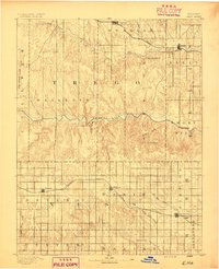
1893 · Ellis
USGS Topo · 1:125,000
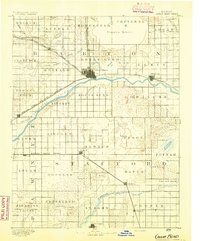
1893 · Great Bend
USGS Topo · 1:125,000
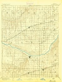
1894 · Spearville
USGS Topo · 1:125,000