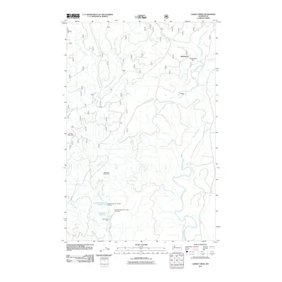
2011 Map of Larsen Creek
USGS Topo · Published 2011About this map
The Aberdeen Watershed serves as a central hub for water management in this portion of Grays Harbor County, where the southern flow of the Wishkah River is controlled by several engineering landmarks. Civil works such as Malinowski Dam, the Wishkah Reservoir Number Two Dam, and the Wishkah Reservoir Number Three Dam manage the Wishkah Reservoir Number Two and Aberdeen Reservoir, securing the regional water supply. This hydrological system is situated within a dense network of timberlands and drainage basins.
Find a feature on this map
22 named features on this map. Tap any name to fly to it.
Don’t see what you’re looking for? This feature index may not catch every label — zoom into the map to look around manually.
Map Details
Editions of this 2011 Larsen Creek Map
This is the sole edition of this map. No revisions or reprints were ever made.
Other maps of this area

1921 · Quinault Lake
USGS Topo · 1:62,500

1921 · Satsop
USGS Topo · 1:62,500

1941 · Mobray
USGS Topo · 1:62,500

1943 · Humptulips
USGS Topo · 1:62,500

1943 · Mobray
USGS Topo · 1:62,500

1955 · Wynoochee Valley
USGS Topo · 1:62,500

1955 · Grisdale
USGS Topo · 1:62,500

1955 · Humptulips
USGS Topo · 1:62,500

1955 · Quinault Lake
USGS Topo · 1:62,500

1958 · Seattle
USGS Topo · 1:250,000