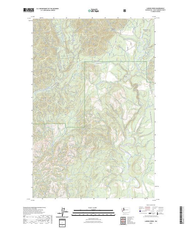
2023 Map of Larsen Creek
USGS Topo · Published 2023About this map
The Olympic National Forest dominates this section of the Olympic Peninsula, where high ridges and deep river valleys define the timberlands of Grays Harbor County. The headwaters of several significant drainages emerge from the slopes, including the East Fork Humptulips River, the Wynoochee River, and the Wishkah River. Infrastructure in this heavy logging region centers on corridors like the Wynoochee Valley Road FH 203 and Donkey Crk/Grisdale, which connect the settlement of Grisdale and the Oxbow bend. A critical water management system is visible in the southern portion of the sheet, where the Wishkah Reservoir Number Two and the Aberdeen Reservoir serve as vital resources for the region. Prominent peaks such as Cougar Mtn and Humptulips Ridge stand above a network of forest development roads, illustrating the modern management of these Pacific Northwest highlands.
Find a feature on this map
31 named features on this map. Tap any name to fly to it.
Don’t see what you’re looking for? This feature index may not catch every label — zoom into the map to look around manually.
Map Details
Editions of this 2023 Larsen Creek Map
This is the sole edition of this map. No revisions or reprints were ever made.
Other maps of this area

1921 · Quinault Lake
USGS Topo · 1:62,500

1921 · Satsop
USGS Topo · 1:62,500

1941 · Mobray
USGS Topo · 1:62,500

1943 · Humptulips
USGS Topo · 1:62,500

1943 · Mobray
USGS Topo · 1:62,500

1955 · Wynoochee Valley
USGS Topo · 1:62,500

1955 · Grisdale
USGS Topo · 1:62,500

1955 · Humptulips
USGS Topo · 1:62,500

1955 · Quinault Lake
USGS Topo · 1:62,500

1958 · Seattle
USGS Topo · 1:250,000