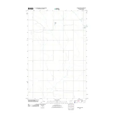
2011 Map of Larslan NW
USGS Topo · Published 2011About this map
Hell Creek winds through this section of Valley County, defining a landscape of northern Montana prairie dominated by local water management and a grid of rural section roads. The map illustrates the specialized infrastructure of the region's agricultural economy, specifically the Ghost Number 6 Dam and Tarum Number 2 Dam. These small-scale impoundments are essential for water conservation in this semi-arid environment. A network of local routes, including Zemliska Rd, Donovan Rd, and Alden Rd, provides the primary access to the surrounding farmsteads. The prominent path of Fas 438 connects this area to the broader region, reflecting the transportation patterns of the early twenty-first century.
Find a feature on this map
10 named features on this map. Tap any name to fly to it.
Don’t see what you’re looking for? This feature index may not catch every label — zoom into the map to look around manually.
Map Details
Editions of this 2011 Larslan NW Map
This is the sole edition of this map. No revisions or reprints were ever made.
Other maps of this area

1954 · Glasgow
USGS Topo · 1:250,000

1957 · Glasgow
USGS Topo · 1:250,000

1958 · Glasgow
USGS Topo · 1:250,000

1973 · Baylor SE
USGS Topo · 1:24,000

1973 · Larslan
USGS Topo · 1:24,000

1973 · Glentana West
USGS Topo · 1:24,000

1973 · Larslan NW
USGS Topo · 1:24,000

1973 · Baylor NE
USGS Topo · 1:24,000

1973 · Johnnys Hill
USGS Topo · 1:24,000

1973 · Richland
USGS Topo · 1:24,000