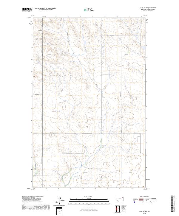
2024 Map of Larslan NW
USGS Topo · Published 2024About this map
East Fork Snow Coulee and the main channel of Snow Coulee cut through the high plains of Valley County, defining the drainage patterns of this rural Montana landscape. The map reveals a highly structured grid of section lines and gravel roads, reflecting the systematic land division of the American West. Primary transit routes such as the Glentana-Nashua Rd and Baylor Rd connect disparate homesteads and agricultural tracts, while family-named local roads like Zemliska Rd, Dohlen Rd, and Alden Rd provide clues to the region's ranching and farming heritage. To the northeast, the terrain slopes toward Hell Creek, a prominent hydrological feature that breaks the symmetry of the surveyed townships. This map is particularly useful for identifying specific land parcels within the T34N and T35N ranges, as well as the network of secondary roads such as Sunnyside N Rd and Larslan Rd that serve this quiet corner of the Big Sky state.
Find a feature on this map
20 named features on this map. Tap any name to fly to it.
Don’t see what you’re looking for? This feature index may not catch every label — zoom into the map to look around manually.
Map Details
Editions of this 2024 Larslan NW Map
This is the sole edition of this map. No revisions or reprints were ever made.
Other maps of this area

1954 · Glasgow
USGS Topo · 1:250,000

1957 · Glasgow
USGS Topo · 1:250,000

1958 · Glasgow
USGS Topo · 1:250,000

1973 · Baylor SE
USGS Topo · 1:24,000

1973 · Larslan
USGS Topo · 1:24,000

1973 · Glentana West
USGS Topo · 1:24,000

1973 · Larslan NW
USGS Topo · 1:24,000

1973 · Baylor NE
USGS Topo · 1:24,000

1973 · Johnnys Hill
USGS Topo · 1:24,000

1973 · Richland
USGS Topo · 1:24,000