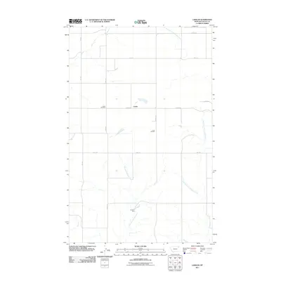
2011 Map of Larslan
USGS Topo · Published 2011About this map
Larslan is the central hub of this agricultural landscape in Valley County, Montana, defined by a grid of rural roads and the winding paths of the Porcupine Creek system. The Larslan Post Office and Larslan Cemetery serve as the primary landmarks for this small settlement, while the surrounding acreage is managed through features like Hovland Dam. The terrain is drained by several branches of local waterways, including the East Fork Little Porcupine Creek and the West Fork Little Porcupine Creek. A network of section-line roads, such as School Rd, Reimche Rd, and Sillfrud Rd, underscores the importance of land division and access for the region's farming community. This map offers a clear view of the area's infrastructure, from the rural mail service to the local cemetery, during the early 21st century.
Find a feature on this map
15 named features on this map. Tap any name to fly to it.
Don’t see what you’re looking for? This feature index may not catch every label — zoom into the map to look around manually.
Map Details
Editions of this 2011 Larslan Map
This is the sole edition of this map. No revisions or reprints were ever made.
Other maps of this area

1915 · Spring Creek
USGS Topo · 1:62,500

1918 · Porcupine Valley
USGS Topo · 1:62,500

1954 · Glasgow
USGS Topo · 1:250,000

1957 · Glasgow
USGS Topo · 1:250,000

1958 · Glasgow
USGS Topo · 1:250,000

1973 · Baylor SE
USGS Topo · 1:24,000

1973 · Larslan
USGS Topo · 1:24,000

1973 · Larslan NW
USGS Topo · 1:24,000

1973 · Baylor NE
USGS Topo · 1:24,000

1973 · Johnnys Hill
USGS Topo · 1:24,000