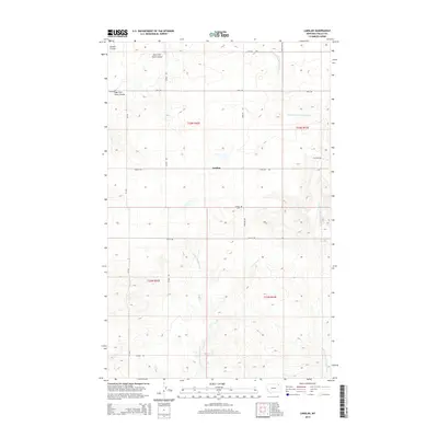
2014 Map of Larslan
USGS Topo · Published 2014About this map
Larslan serves as the central point of this high plains landscape in Valley County, situated within a network of drainage coulees and seasonal creeks. The mapping of Larslan Cem and a grid of secondary roads such as School Rd and Reimche Rd reflects the enduring agricultural settlement of the Frazer District. The terrain is defined by the systems of E Fork Little Porcupine Cr and W Fork Little Porcupine Cr, which cut through the gently undulating topography. This 2014 survey documents the continued use of historical township lines including t33n r42e and t32n r43e, while highlighting the significance of local access routes like Fuhrman Rd and Sillfrud Rd in maintaining the connectivity of this rural community.
Find a feature on this map
19 named features on this map. Tap any name to fly to it.
Don’t see what you’re looking for? This feature index may not catch every label — zoom into the map to look around manually.
Map Details
Editions of this 2014 Larslan Map
This is the sole edition of this map. No revisions or reprints were ever made.
Other maps of this area

1915 · Spring Creek
USGS Topo · 1:62,500

1918 · Porcupine Valley
USGS Topo · 1:62,500

1954 · Glasgow
USGS Topo · 1:250,000

1957 · Glasgow
USGS Topo · 1:250,000

1958 · Glasgow
USGS Topo · 1:250,000

1973 · Baylor SE
USGS Topo · 1:24,000

1973 · Larslan
USGS Topo · 1:24,000

1973 · Larslan NW
USGS Topo · 1:24,000

1973 · Baylor NE
USGS Topo · 1:24,000

1973 · Johnnys Hill
USGS Topo · 1:24,000