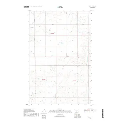
2020 Map of Larslan
USGS Topo · Published 2020About this map
Larslan serves as the central hub of this agricultural landscape in Valley County, Montana, situated at the junction of Larslan Rd and School Rd. The terrain is defined by a series of branching drainages, most notably the E Fork Little Porcupine Cr and W Fork Little Porcupine Cr, which carve through the high plains. A short distance southeast of the settlement, the Larslan Cem on Reimche Rd provides a specific point of interest for genealogists tracing local family histories in this part of the Frazer District.
Find a feature on this map
20 named features on this map. Tap any name to fly to it.
Don’t see what you’re looking for? This feature index may not catch every label — zoom into the map to look around manually.
Map Details
Editions of this 2020 Larslan Map
This is the sole edition of this map. No revisions or reprints were ever made.
Other maps of this area

1915 · Spring Creek
USGS Topo · 1:62,500

1918 · Porcupine Valley
USGS Topo · 1:62,500

1954 · Glasgow
USGS Topo · 1:250,000

1957 · Glasgow
USGS Topo · 1:250,000

1958 · Glasgow
USGS Topo · 1:250,000

1973 · Baylor SE
USGS Topo · 1:24,000

1973 · Larslan
USGS Topo · 1:24,000

1973 · Larslan NW
USGS Topo · 1:24,000

1973 · Baylor NE
USGS Topo · 1:24,000

1973 · Johnnys Hill
USGS Topo · 1:24,000