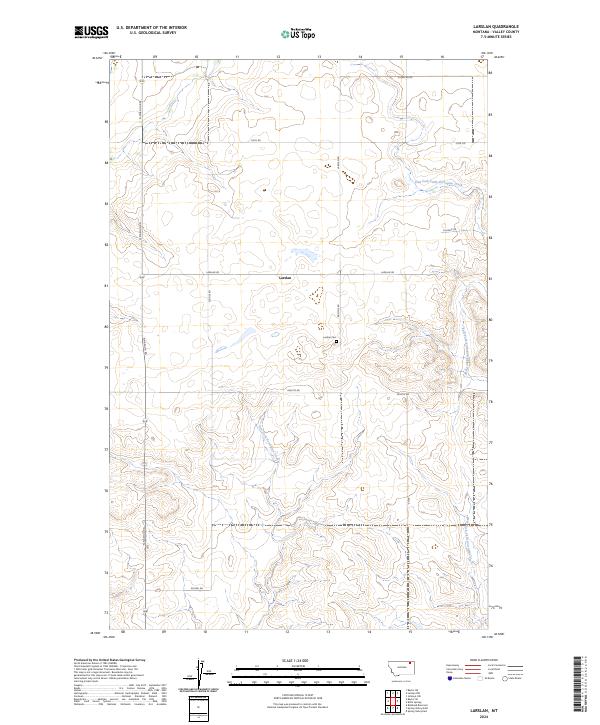
2024 Map of Larslan
USGS Topo · Published 2024About this map
The tiny settlement of Larslan serves as the focal point for this section of Valley County, Montana, situated in a landscape defined by expansive ranch lands and high-plains drainages. The geography is dominated by the intricate branching of East Fork Little Porcupine Creek and West Fork Little Porcupine Creek, which carve winding paths through the terrain. Evidence of the area's rural community structure is found at the Larslan Cem, located just south of the main road intersection.
Find a feature on this map
17 named features on this map. Tap any name to fly to it.
Don’t see what you’re looking for? This feature index may not catch every label — zoom into the map to look around manually.
Map Details
Editions of this 2024 Larslan Map
This is the sole edition of this map. No revisions or reprints were ever made.
Other maps of this area

1915 · Spring Creek
USGS Topo · 1:62,500

1918 · Porcupine Valley
USGS Topo · 1:62,500

1954 · Glasgow
USGS Topo · 1:250,000

1957 · Glasgow
USGS Topo · 1:250,000

1958 · Glasgow
USGS Topo · 1:250,000

1973 · Baylor SE
USGS Topo · 1:24,000

1973 · Larslan
USGS Topo · 1:24,000

1973 · Larslan NW
USGS Topo · 1:24,000

1973 · Baylor NE
USGS Topo · 1:24,000

1973 · Johnnys Hill
USGS Topo · 1:24,000