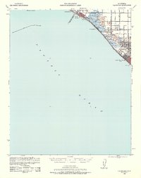
1941 Map of Las Bolsas
USGS Topo · Published 1961About this map
Seal Beach and Sunset Beach define the coastal character of this Orange County survey, prepared by the Corps of Engineers shortly before the American entry into World War II. The landscape is a transition between the developing shoreline and the agricultural wetlands further inland, where the Pacific Electric railroad tracks parallel the coast. Large tracts of marshland are occupied by the Sunset Gun Club and Bolsa Chica Gun Club, highlighting the era's reliance on the natural wetlands for recreation before mid-century development.
Find a feature on this map
27 named features on this map. Tap any name to fly to it.
Don’t see what you’re looking for? This feature index may not catch every label — zoom into the map to look around manually.
Map Details
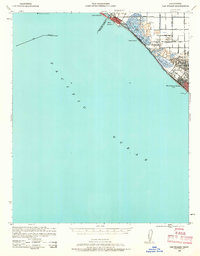
Editions of this 1941 Las Bolsas Map
2 editions found
Other maps of this area

1896 · Santa Ana
USGS Topo · 1:62,500

1896 · Anaheim
USGS Topo · 1:62,500

1896 · Redondo
USGS Topo · 1:62,500

1896 · Las Bolsas
USGS Topo · 1:62,500

1896 · San Pedro
USGS Topo · 1:62,500

1896 · Downey
USGS Topo · 1:62,500

1898 · Anaheim
USGS Topo · 1:62,500

1899 · Downey
USGS Topo · 1:62,500

1901 · Southern California Sheet No. 1
USGS Topo · 1:250,000

1901 · Santa Ana
USGS Topo · 1:62,500