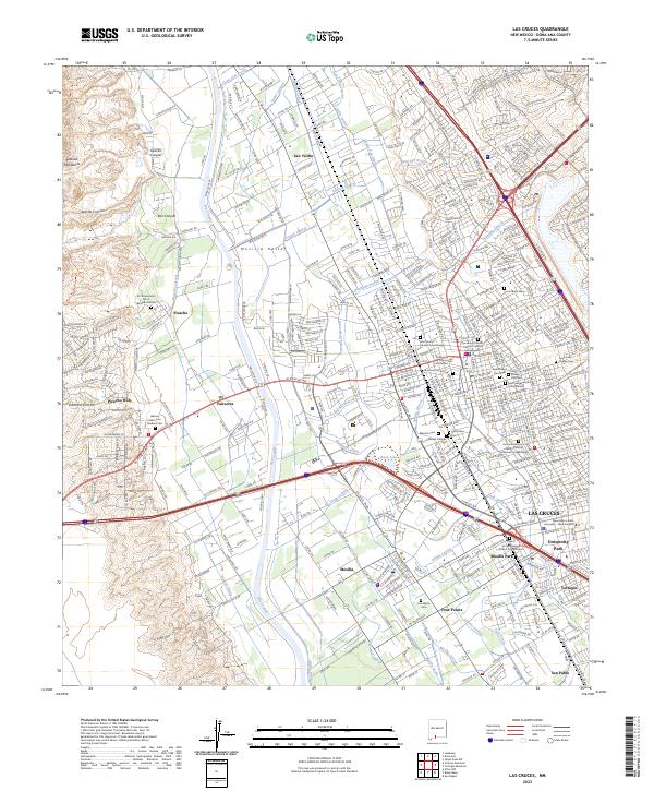
2023 Map of Las Cruces
USGS Topo · Published 2023About this map
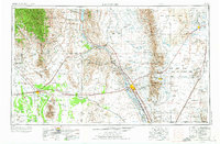
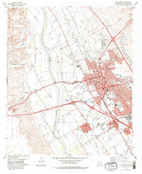
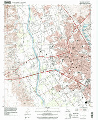
Las Cruces and the Mesilla Valley are defined by a complex irrigation network of drains, canals, and laterals that sustain the agriculture of the Rio Grande basin. This modern survey illustrates the intensive water management system, including the Leasburg Canal, Mesilla Drain, and Alamo Drain, which interlace with established settlements like Mesilla and San Ysidro. The eastern portion of the map is dominated by the sprawl of Las Cruces, the New Mexico State University - Main Campus, and institutional landmarks such as the Dona Ana County Courthouse.
Find a feature on this map
394 named features on this map. Tap any name to fly to it.
Don’t see what you’re looking for? This feature index may not catch every label — zoom into the map to look around manually.
Map Details
Editions of this 2023 Las Cruces Map
This is the sole edition of this map. No revisions or reprints were ever made.
Historical Maps of Picacho Through Time
10 maps found

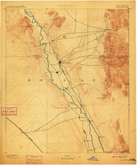
1891 Las Cruces
Doña Ana County, NM
1893 Las Cruces
Doña Ana County, NM
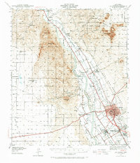
1941 Las Cruces
Doña Ana County, NM
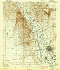
1943 Las Cruces
Doña Ana County, NM
1955 Las Cruces
Doña Ana County, NM

1958 Las Cruces
Doña Ana County, NM
1978 Las Cruces
Doña Ana County, NM

1982 Las Cruces
Doña Ana County, NM
1996 Las Cruces
Doña Ana County, NM
2023 Las Cruces
Doña Ana County, NM