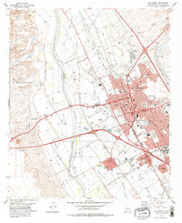
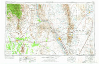
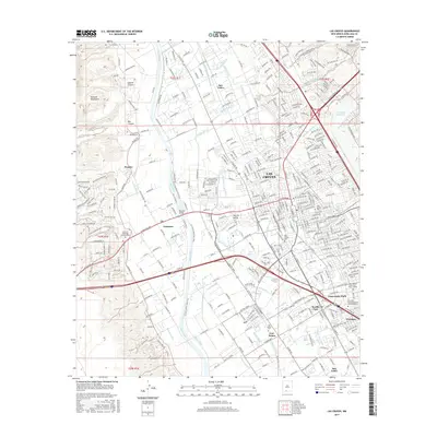
1978 Map of Las Cruces
USGS Topo · Published 1978About this map
The Rio Grande valley floor anchors this 1970s view of Las Cruces, revealing a landscape where historic land grants and modern expansion meet. The western edge of the city is defined by the Mesilla Civil Colony Tract No 2 and the adjacent Fairacres settlement, while the central urban core is interlaced with a complex network of irrigation features including the Leasburg Canal and various laterals like the Dora Ana Lateral. This system reflects the agricultural heritage of the Mesilla Valley even as residential growth pushes toward the rugged Apache Canyon.
Find a feature on this map
54 named features on this map. Tap any name to fly to it.
Don’t see what you’re looking for? This feature index may not catch every label — zoom into the map to look around manually.
Map Details
Editions of this 1978 Las Cruces Map
This is the sole edition of this map. No revisions or reprints were ever made.
Historical Maps of Las Cruces Through Time
14 maps found

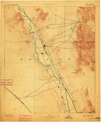
1891 Las Cruces
Doña Ana County, NM
1893 Las Cruces
Doña Ana County, NM
1941 Las Cruces
Doña Ana County, NM
1943 Las Cruces
Doña Ana County, NM
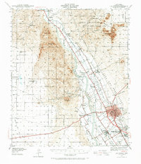
1955 Las Cruces
Doña Ana County, NM

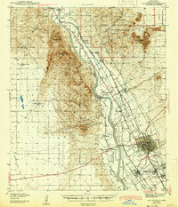
1958 Las Cruces
Doña Ana County, NM
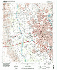
1978 Las Cruces
Doña Ana County, NM

1982 Las Cruces
Doña Ana County, NM
1996 Las Cruces
Doña Ana County, NM
2010 Las Cruces
Doña Ana County, NM
2013 Las Cruces
Doña Ana County, NM
2017 Las Cruces
Doña Ana County, NM
2020 Las Cruces
Doña Ana County, NM
2023 Las Cruces
Doña Ana County, NM