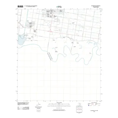
2010 Map of Las Milpas
USGS Topo · Published 2010About this map
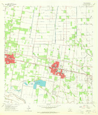
The Rio Grande meanders along the international border between the United States of America and Estados Unidos Mexicanos, shaping a landscape of agricultural bancos and rapidly developing colonias. This 2010 survey captures the residential density north of the river, where numerous named settlements like Las Milpas, Villas del Valle Colonia, and Los Ranchitos Number 1-3 Colonia illustrate the region's modern growth. The infrastructure is anchored by the Pharr International Brg, a critical transit point for the cross-border economy.
Find a feature on this map
53 named features on this map. Tap any name to fly to it.
Don’t see what you’re looking for? This feature index may not catch every label — zoom into the map to look around manually.
Map Details
Editions of this 2010 Las Milpas Map
This is the sole edition of this map. No revisions or reprints were ever made.
Other maps of this area

1914 · San Juan
USGS Topo · 1:48,000

1916 · San Juan
USGS Topo · 1:62,500

1949 · Mc Allen
USGS Topo · 1:250,000

1954 · McAllen
USGS Topo · 1:250,000

1957 · Mc Allen
USGS Topo · 1:250,000

1962 · McAllen
USGS Topo · 1:250,000
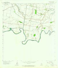
1962 · San Juan SE
USGS Topo · 1:24,000
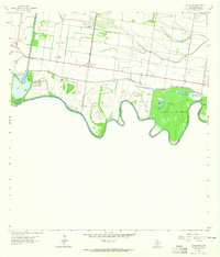
1962 · Las Milpas
USGS Topo · 1:24,000
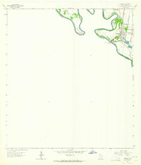
1963 · Hidalgo
USGS Topo · 1:24,000
1963 · Donna
USGS Topo · 1:24,000