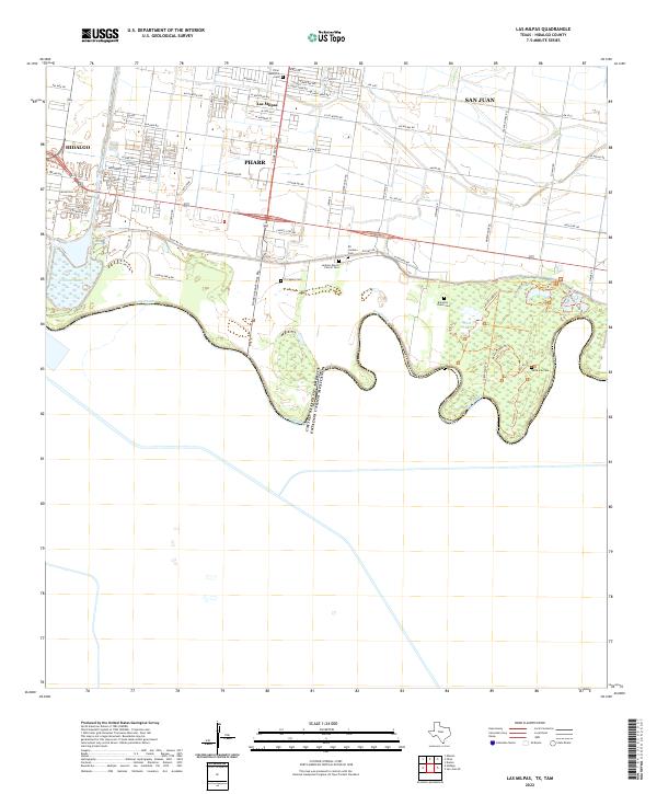
2022 Map of Las Milpas
USGS Topo · Published 2022About this map
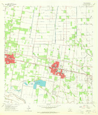
The Rio Grande meanders along the southern border of this region, defining the international boundary between the United States and Mexico. North of the river, the landscape transition from the wetlands and oxbows of West Lake and Carlson Lake into the residential and agricultural grid of South Texas. The settlement of Las Milpas sits between the larger municipalities of Hidalgo, Pharr, and San Juan, reflecting the dense development patterns along the border. For those researching local family history, the map is remarkably dense with burial sites, ranging from the Santa Ana Cem near the riverbanks to the centrally located Jackson Ranch Church Cem and Eli Jackson Cem. The intricate network of local roads, such as Old Mil Rd and W Highline Rd, connects these community landmarks within the Lower Rio Grande Valley.
Find a feature on this map
67 named features on this map. Tap any name to fly to it.
Don’t see what you’re looking for? This feature index may not catch every label — zoom into the map to look around manually.
Map Details
Editions of this 2022 Las Milpas Map
This is the sole edition of this map. No revisions or reprints were ever made.
Other maps of this area

1914 · San Juan
USGS Topo · 1:48,000

1916 · San Juan
USGS Topo · 1:62,500

1949 · Mc Allen
USGS Topo · 1:250,000

1954 · McAllen
USGS Topo · 1:250,000

1957 · Mc Allen
USGS Topo · 1:250,000

1962 · McAllen
USGS Topo · 1:250,000
1962 · San Juan SE
USGS Topo · 1:24,000
1962 · Las Milpas
USGS Topo · 1:24,000
1963 · Hidalgo
USGS Topo · 1:24,000
1963 · Donna
USGS Topo · 1:24,000