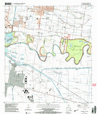
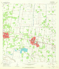
2002 Map of Las Milpas
USGS Topo · Published 2003About this map
The Rio Grande Bravo carves a complex, meandering path along the border between Texas and Tamaulipas on this 2002 topographic study. This international landscape is defined by its deep agricultural and conservation roots, featuring the Santa Ana National Wildlife Refuge and portions of the Lower Rio Grande Valley National Wildlife Refuge. The map details the complex system of bancos, or former river loops, such as Don Juan Cross Banco No 155 and Santa Cruz Banco No 43, which reflect the river's historical shifts.
Find a feature on this map
46 named features on this map. Tap any name to fly to it.
Don’t see what you’re looking for? This feature index may not catch every label — zoom into the map to look around manually.
Map Details
Editions of this 2002 Las Milpas Map
This is the sole edition of this map. No revisions or reprints were ever made.
Other maps of this area

1914 · San Juan
USGS Topo · 1:48,000

1916 · San Juan
USGS Topo · 1:62,500

1949 · Mc Allen
USGS Topo · 1:250,000

1954 · McAllen
USGS Topo · 1:250,000

1957 · Mc Allen
USGS Topo · 1:250,000

1962 · McAllen
USGS Topo · 1:250,000
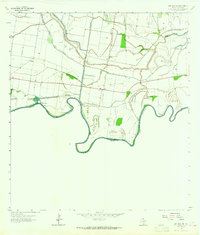
1962 · San Juan SE
USGS Topo · 1:24,000
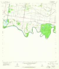
1962 · Las Milpas
USGS Topo · 1:24,000
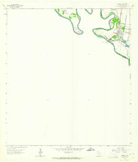
1963 · Hidalgo
USGS Topo · 1:24,000
1963 · Donna
USGS Topo · 1:24,000