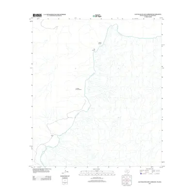
2013 Map of Las Vegas De Los Ladrones
USGS Topo · Published 2013About this map
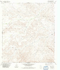
The Rio Grande snakes through a complex drainage network at the border of Texas and Coahuila in this 2013 survey. The landscape is defined by massive topographic features, most notably the Reagan Canyon and Big Canyon systems that feed into the river from the north. Settlement is sparse in this arid region, though the map preserves the location of Horns Ranch near the riverbanks. The namesake of this quadrangle, Las Vegas de los Ladrones, occupies a central position on the Mexican side of the international boundary, illustrating the cross-border geography of this isolated stretch of the frontier.
Find a feature on this map
5 named features on this map. Tap any name to fly to it.
Don’t see what you’re looking for? This feature index may not catch every label — zoom into the map to look around manually.
Map Details
Editions of this 2013 Las Vegas De Los Ladrones Map
This is the sole edition of this map. No revisions or reprints were ever made.
Other maps of this area

1918 · Reagan Canyon
USGS Topo · 1:62,500

1918 · Dove Mountain
USGS Topo · 1:62,500

1918 · Bullis Gap
USGS Topo · 1:62,500

1919 · Maravillas Canyon
USGS Topo · 1:62,500

1959 · Emory Peak
USGS Topo · 1:250,000

1965 · Emory Peak
USGS Topo · 1:250,000
1983 · Las Vegas De Los Ladrones SW
USGS Topo · 1:24,000
1983 · Bourland Canyon
USGS Topo · 1:24,000
1983 · Bullis Gap
USGS Topo · 1:24,000
1983 · Beef Gap
USGS Topo · 1:24,000