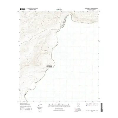
2016 Map of Las Vegas De Los Ladrones
USGS Topo · Published 2016About this map
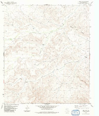
The Rio Grande carves a deep, sinuous path through this borderland, where the Rio Grande Wild and Scenic River designation protects the delicate riparian environment between Texas and Mexico. The landscape is defined by massive drainages such as Big Canyon and Reagan Canyon that feed into the river corridor. A notable feature of the terrain is Las Vegas de los Ladrones, a localized area whose name suggests a long history of activity along this international boundary. The map provides a detailed topographic study of the Brewster Co line, showing the intricate contouring of the high desert plateaus that drop sharply toward the water's edge. This 2016 survey captures the area's physical geography just as modern digital mapping standards were being applied to this remote stretch of the North American border.
Find a feature on this map
8 named features on this map. Tap any name to fly to it.
Don’t see what you’re looking for? This feature index may not catch every label — zoom into the map to look around manually.
Map Details
Editions of this 2016 Las Vegas De Los Ladrones Map
This is the sole edition of this map. No revisions or reprints were ever made.
Other maps of this area

1918 · Reagan Canyon
USGS Topo · 1:62,500

1918 · Dove Mountain
USGS Topo · 1:62,500

1918 · Bullis Gap
USGS Topo · 1:62,500

1919 · Maravillas Canyon
USGS Topo · 1:62,500

1959 · Emory Peak
USGS Topo · 1:250,000

1965 · Emory Peak
USGS Topo · 1:250,000
1983 · Las Vegas De Los Ladrones SW
USGS Topo · 1:24,000
1983 · Bourland Canyon
USGS Topo · 1:24,000
1983 · Bullis Gap
USGS Topo · 1:24,000
1983 · Beef Gap
USGS Topo · 1:24,000