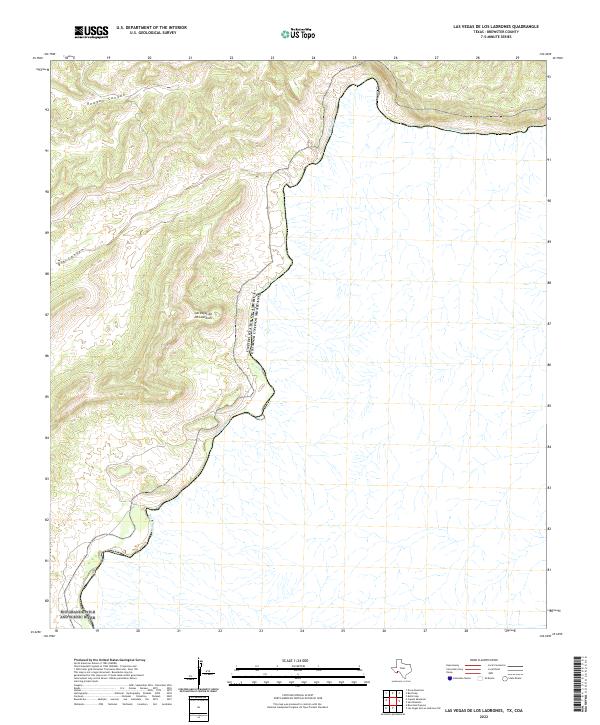
2022 Map of Las Vegas De Los Ladrones
USGS Topo · Published 2022About this map
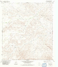
The Rio Grande defines the international boundary on this modern topographical study, carving a sharp line between the United States and Mexico within Brewster County. This reach of the river is protected as the Rio Grande Wild and Scenic River, where the water snakes through deep bends and steep canyon walls. To the west, the Chihuahuan Desert terrain is marked by significant topographical landmarks such as Reagan Canyon and Big Canyon. The namesake Las Vegas de los Ladrones sits among the high ridges, overlooking the river valley. The map documents a landscape almost entirely defined by its hydrology and relief, with no established roads or settlements shown, reflecting the enduring isolation of this border wilderness in the 21st century.
Find a feature on this map
7 named features on this map. Tap any name to fly to it.
Don’t see what you’re looking for? This feature index may not catch every label — zoom into the map to look around manually.
Map Details
Editions of this 2022 Las Vegas De Los Ladrones Map
This is the sole edition of this map. No revisions or reprints were ever made.
Other maps of this area

1918 · Reagan Canyon
USGS Topo · 1:62,500

1918 · Dove Mountain
USGS Topo · 1:62,500

1918 · Bullis Gap
USGS Topo · 1:62,500

1919 · Maravillas Canyon
USGS Topo · 1:62,500

1959 · Emory Peak
USGS Topo · 1:250,000

1965 · Emory Peak
USGS Topo · 1:250,000
1983 · Las Vegas De Los Ladrones SW
USGS Topo · 1:24,000
1983 · Bourland Canyon
USGS Topo · 1:24,000
1983 · Bullis Gap
USGS Topo · 1:24,000
1983 · Beef Gap
USGS Topo · 1:24,000