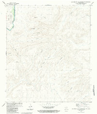
1983 Map of Las Vegas De Los Ladrones SW
USGS Topo · Published 1984About this map
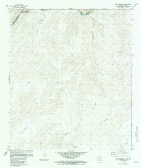
The Rio Grande Rio Bravo carves a sharp international divide through the desert landscape of Brewster County, separating the Black Gap Wildlife Management Area in Texas from the high terrain of Coahuila. This 1983 survey captures the Trans-Pecos region during a period of binational cooperation, with topographic data meticulously compiled from both American aerial photography and Mexican DGG sources. The landscape is defined by isolated peaks and seasonal drainages, including the prominent Cerro El Sombrero and Cerro Grande. While the river remains the primary geographic anchor, the interior is marked by named features such as La Tinaja del Toro and La Piedra Parada, which suggest a long history of livestock movement and local navigation through the arid canyons and washes of the Big Bend country.
Find a feature on this map
25 named features on this map. Tap any name to fly to it.
Don’t see what you’re looking for? This feature index may not catch every label — zoom into the map to look around manually.
Map Details
Editions of this 1983 Las Vegas De Los Ladrones SW Map
This is the sole edition of this map. No revisions or reprints were ever made.
Other maps of this area

1918 · Reagan Canyon
USGS Topo · 1:62,500

1919 · Maravillas Canyon
USGS Topo · 1:62,500

1930 · Stillwell Creek
USGS Topo · 1:62,500

1959 · Emory Peak
USGS Topo · 1:250,000

1965 · Emory Peak
USGS Topo · 1:250,000
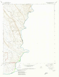
1971 · Stillwell Crossing
USGS Topo · 1:24,000
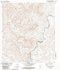
1983 · Bourland Canyon
USGS Topo · 1:24,000
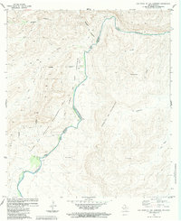
1983 · Las Vegas De Los Ladrones
USGS Topo · 1:24,000
1983 · San Rosendo
USGS Topo · 1:24,000
1983 · Cupola Mountain
USGS Topo · 1:24,000