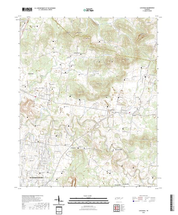
2022 Map of Lascassas
USGS Topo · Published 2022About this map
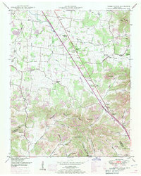
Lascassas sits at a historic crossroads in northern Rutherford County, where the Lascassas Pike and Cainsville Pike intersect. The landscape is defined by the winding course of the East Fork Stones River and its various tributaries like Bradley Creek and Bushman Creek. This area of Middle Tennessee is characterized by its prominent knobs, such as Grandfather Knob, Vaughters Knob, and Halls Knob, which rise sharply from the river valley floors.
Find a feature on this map
127 named features on this map. Tap any name to fly to it.
Don’t see what you’re looking for? This feature index may not catch every label — zoom into the map to look around manually.
Map Details
Editions of this 2022 Lascassas Map
This is the sole edition of this map. No revisions or reprints were ever made.
Historical Maps of Jerrerson Farms Through Time
16 maps found
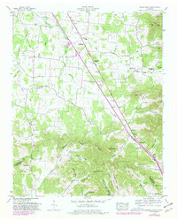
1936 Fosterville
Rutherford County, TN
1936 Webbs Jungle
Rutherford County, TN
1949 Fosterville
Rutherford County, TN
1949 Webbs Jungle
Rutherford County, TN
1951 Fosterville
Rutherford County, TN
1951 Webbs Jungle
Rutherford County, TN
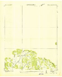
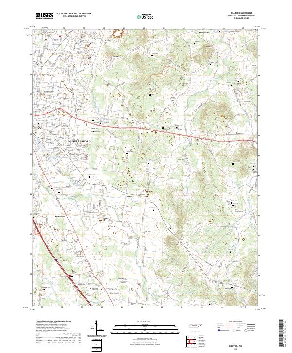
1956 Dillton
Rutherford County, TN
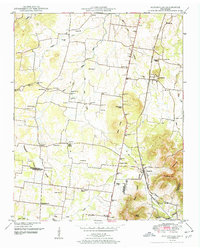
1957 Lascassas
Rutherford County, TN
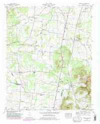
1962 Milton
Rutherford County, TN
1962 Readyville
Rutherford County, TN
2022 Dillton
Rutherford County, TN
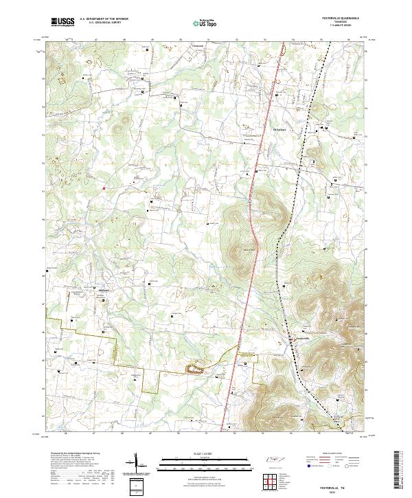
2022 Fosterville
Rutherford County, TN
2022 Lascassas
Rutherford County, TN
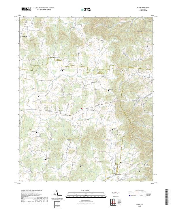
2022 Milton
Rutherford County, TN
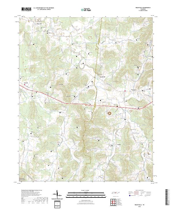
2022 Readyville
Rutherford County, TN
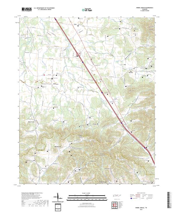
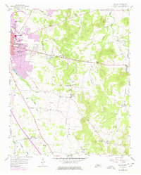
2022 Webbs Jungle
Rutherford County, TN