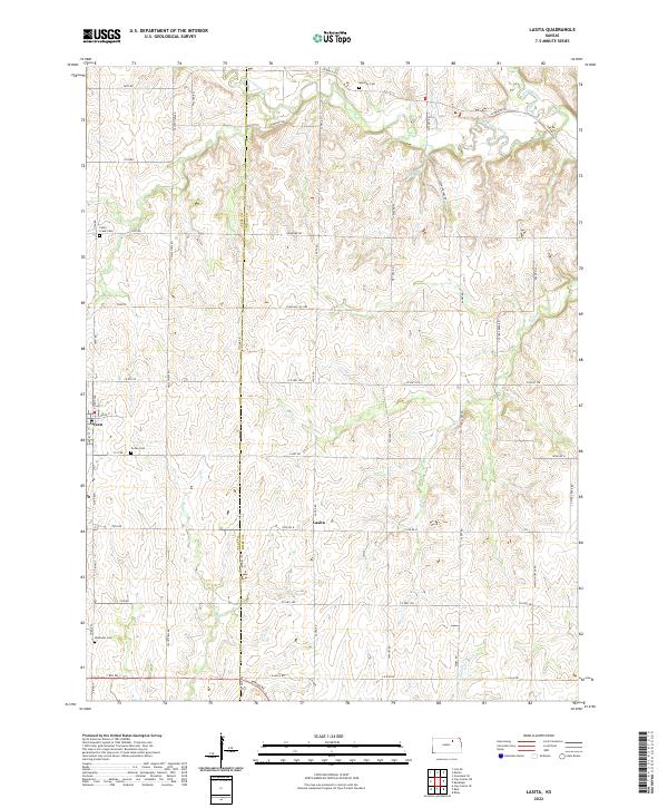
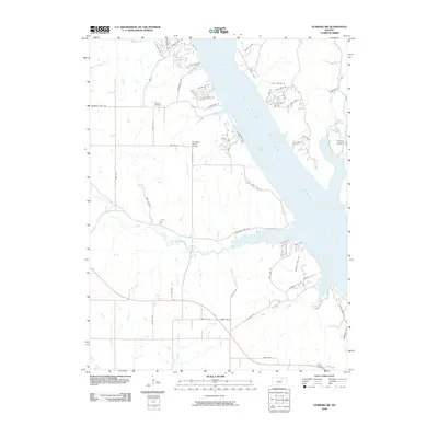
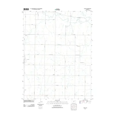
2022 Map of Lasita
USGS Topo · Published 2022About this map
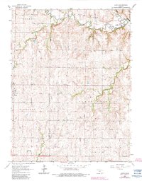
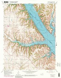
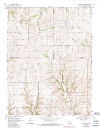
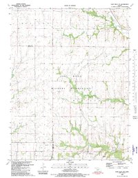
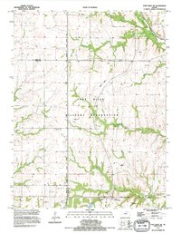
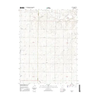
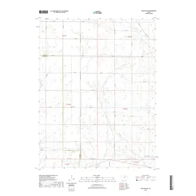
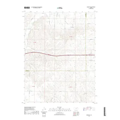
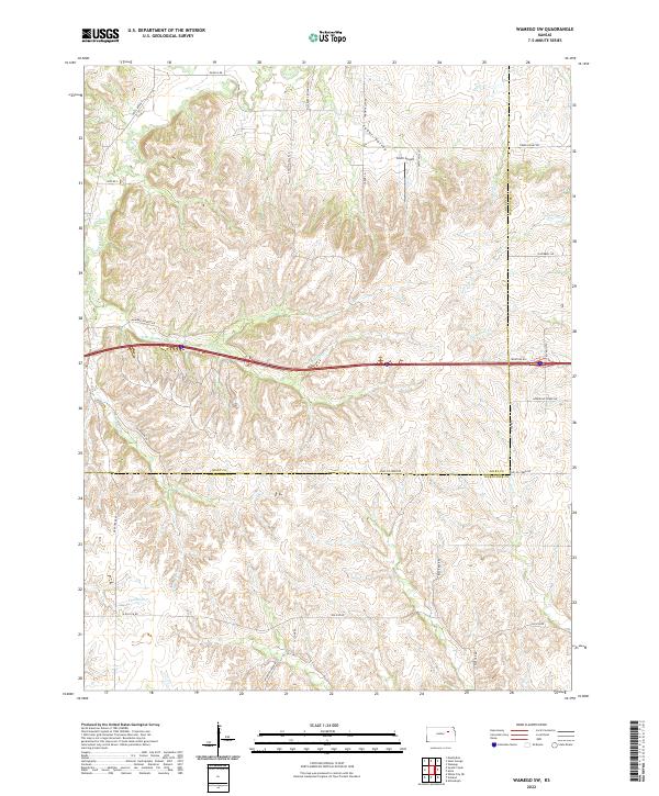
Green and the small settlement of Lasita sit along the border of Clay and Riley counties, where the high prairie begins to break into the drainage systems of the Kansas river basin. This landscape is defined by the headwaters of several streams, including West Fancy Creek and the North Fork Otter Creek, which carve winding paths through the upland terrain. The rural character of the area is underscored by the presence of several community anchors, such as May Day Cem near the northern boundary and Green Cem to the west. Local history and genealogy are well-represented by these long-standing sites, including the Ebenezer Cem and Fancy Creek Cem. The network of section-line roads, such as Walnut Rd and Valleyview Rd, reflects the original land-survey grid that organized these farming communities, while natural landmarks like May Day Spring indicate the importance of water sources in this environment.
Find a feature on this map
58 named features on this map. Tap any name to fly to it.
Don’t see what you’re looking for? This feature index may not catch every label — zoom into the map to look around manually.
Map Details
Editions of this 2022 Lasita Map
This is the sole edition of this map. No revisions or reprints were ever made.
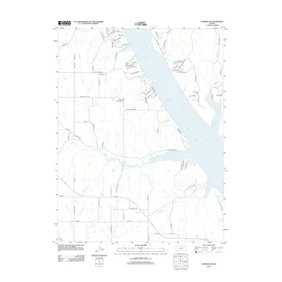
Historical Maps of Green Through Time
33 maps found
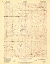
1951 Wind Creek
Riley County, KS
1953 Wamego SW
Riley County, KS
1955 Fort Riley NE
Riley County, KS
1963 Lasita
Riley County, KS
1964 Olsburg SW
Riley County, KS
1968 Greenleaf SE
Riley County, KS
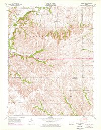
1982 Fort Riley NE
Riley County, KS
1992 Fort Riley NE
Riley County, KS
2009 Fort Riley NE
Riley County, KS
2009 Greenleaf SE
Riley County, KS
2009 Lasita
Riley County, KS
2009 Olsburg SW
Riley County, KS
2009 Wamego SW
Riley County, KS
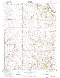
2012 Fort Riley NE
Riley County, KS
2012 Greenleaf SE
Riley County, KS
2012 Lasita
Riley County, KS
2012 Olsburg SW
Riley County, KS
2012 Wamego SW
Riley County, KS
2015 Greenleaf SE
Riley County, KS
2015 Lasita
Riley County, KS
2015 Olsburg SW
Riley County, KS
2015 Wamego SW
Riley County, KS
2016 Fort Riley NE
Riley County, KS
2018 Fort Riley NE
Riley County, KS
2018 Greenleaf SE
Riley County, KS
2018 Lasita
Riley County, KS
2018 Olsburg SW
Riley County, KS
2018 Wamego SW
Riley County, KS
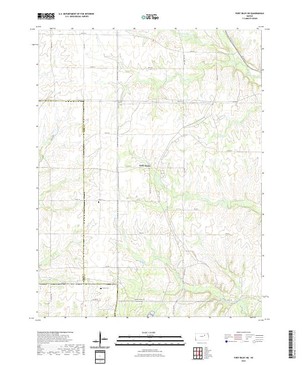
2022 Fort Riley NE
Riley County, KS
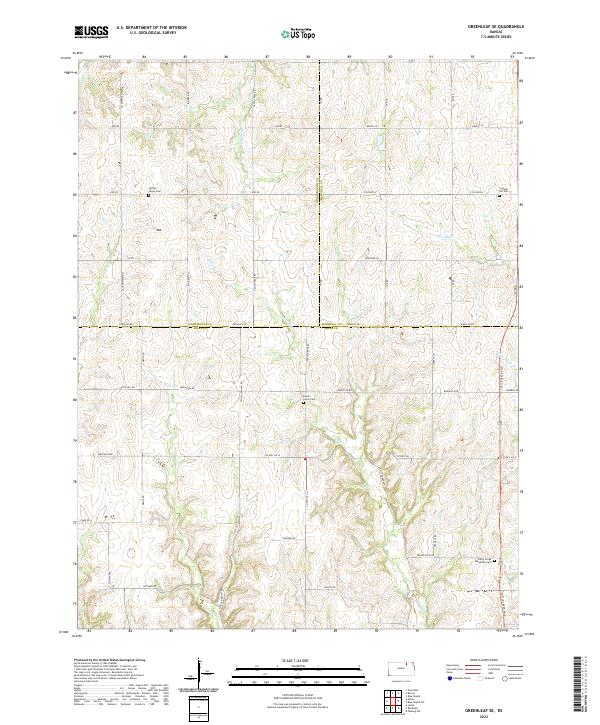
2022 Greenleaf SE
Riley County, KS
2022 Lasita
Riley County, KS
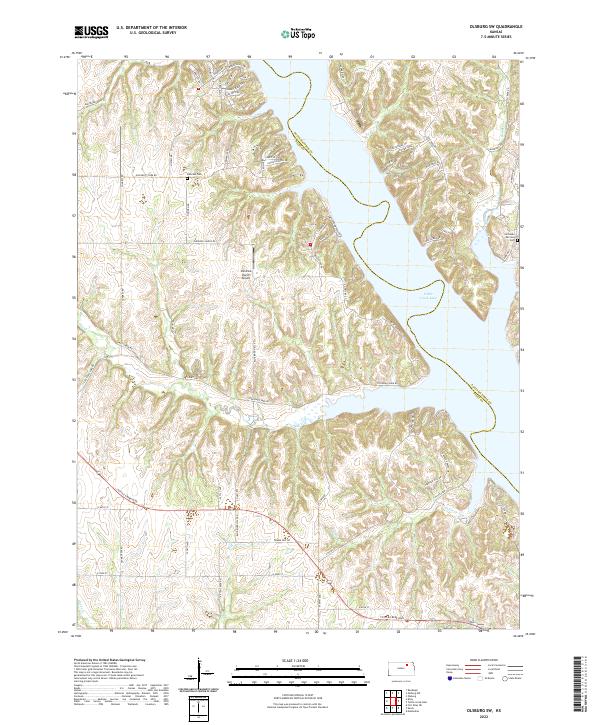
2022 Olsburg SW
Riley County, KS
2022 Wamego SW
Riley County, KS