
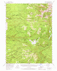
1956 Map of Lassen Peak
USGS Topo · Published 1958About this map
The volcanic activity and early 20th-century industry of Tehama County are detailed in this mid-century survey. High-elevation features like Lassen Volcanic National Park dominate the northeast, including Bumpass Hell, Sulphur Works, and the thermal activity around Morgan Springs. The landscape reflects a mix of rugged conservation and active timber harvesting, evidenced by several mountain camps and industrial sites. To the west, the presence of the Rockland Sch and the landing field near Camp Forward indicate the infrastructure of established mountain communities.
Find a feature on this map
124 named features on this map. Tap any name to fly to it.
Don’t see what you’re looking for? This feature index may not catch every label — zoom into the map to look around manually.
Map Details
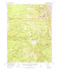
Editions of this 1956 Lassen Peak Map
3 editions found
Other maps of this area

1886 · Lassen Peak
USGS Topo · 1:250,000

1892 · Lassen Peak
USGS Topo · 1:250,000

1894 · Lassen Peak
USGS Topo · 1:250,000

1935 · Burney
USGS Topo · 1:96,000

1935 · Paynes Creek
USGS Topo · 1:96,000

1939 · Burney
USGS Topo · 1:125,000

1939 · Halls Flat
USGS Topo · 1:125,000

1941 · Mineral
USGS Topo · 1:125,000
1953 · Panther Spring
USGS Topo · 1:62,500

1955 · Westwood
USGS Topo · 1:250,000