
1973 Map of Last Chance SW
USGS Topo · Published 1976About this map
Middlemist Creek and Beaver Creek carve through this high plains landscape at a unique geopolitical intersection where four Colorado counties meet. In the early 1970s, the terrain is dominated by the sprawling boundaries of Arapahoe, Washington, Elbert, and Lincoln counties. The map captures a moment in rural agricultural life, centered on the Brooks Ranch and the locality of Brooks. Unlike more developed regions, the map highlights the sparse infrastructure of the era, such as a solitary Power line corridor, which underscores the isolation of these eastern plains. This survey provides genealogists and land researchers a precise view of property lines and ranch locations before modern consolidation changed the rural footprint of the region.
Find a feature on this map
9 named features on this map. Tap any name to fly to it.
Don’t see what you’re looking for? This feature index may not catch every label — zoom into the map to look around manually.
Map Details
Editions of this 1973 Last Chance SW Map
This is the sole edition of this map. No revisions or reprints were ever made.
Other maps of this area

1891 · Limon
USGS Topo · 1:125,000

1892 · Limon
USGS Topo · 1:125,000

1954 · Limon
USGS Topo · 1:250,000

1957 · Limon
USGS Topo · 1:250,000

1958 · Limon
USGS Topo · 1:250,000
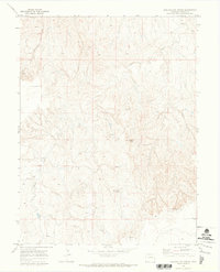
1970 · Barking Dog Spring
USGS Topo · 1:24,000

1970 · T Draw
USGS Topo · 1:24,000
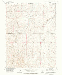
1973 · Cottonwood Valley South
USGS Topo · 1:24,000

1973 · Last Chance NW
USGS Topo · 1:24,000

1973 · Lusto Springs
USGS Topo · 1:24,000