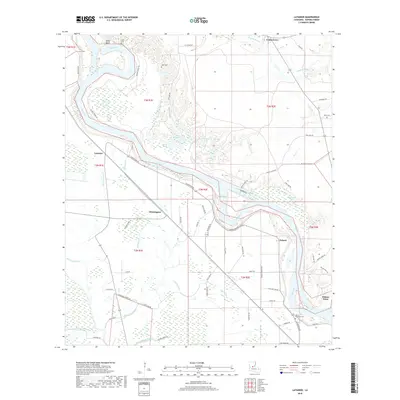
2018 Map of Latanier
USGS Topo · Published 2018About this map
The Red River meanders across this landscape, shaping the alluvial terrain of Rapides Parish south of Alexandria. The settlement pattern follows the high ground and river bends, with Latanier and Whittington situated along the western corridor, while Poland and Wilson Point occupy the eastern banks. This area is characterized by a dense network of bayous and oxbow lakes, such as Elbow Lake, Hog Lake, and Tiger Lake, which illustrate the river's historical shifts.
Find a feature on this map
67 named features on this map. Tap any name to fly to it.
Don’t see what you’re looking for? This feature index may not catch every label — zoom into the map to look around manually.
Map Details
Editions of this 2018 Latanier Map
This is the sole edition of this map. No revisions or reprints were ever made.
Other maps of this area

1935 · Lecompte
USGS Topo · 1:62,500

1940 · Marksville
USGS Topo · 1:62,500

1941 · Alexandria
USGS Topo · 1:62,500

1941 · Buckeye
USGS Topo · 1:62,500

1953 · Alexandria
USGS Topo · 1:250,000

1955 · Alexandria
USGS Topo · 1:250,000

1957 · Alexandria
USGS Topo · 1:62,500
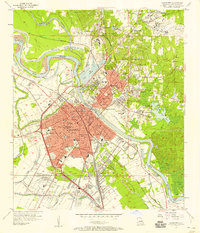
1957 · Alexandria
USGS Topo · 1:24,000

1957 · Lecompte
USGS Topo · 1:62,500

1959 · Buckeye
USGS Topo · 1:62,500