
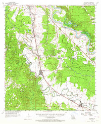
1957 Map of Lecompte
USGS Topo · Published 1958About this map
The complex wetland hydrology of Rapides Parish is on full display here, where the winding courses of Bayou Boeuf and Bayou Lamourie dictate the placement of early settlements and agriculture. In the mid-1950s, the landscape was a mosaic of swampy lowlands and cultivated fields, notably at Bench Slough Plantation and the Dean Lee Agricultural Center. The town of Lecompte serves as a central hub, situated where the Louisiana Meridian intersects major rail lines and road networks.
Find a feature on this map
102 named features on this map. Tap any name to fly to it.
Don’t see what you’re looking for? This feature index may not catch every label — zoom into the map to look around manually.
Map Details
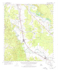
Editions of this 1957 Lecompte Map
3 editions found
Other maps of this area

1935 · Turkey Creek
USGS Topo · 1:62,500

1935 · Lecompte
USGS Topo · 1:62,500

1940 · Marksville
USGS Topo · 1:62,500

1941 · Alexandria
USGS Topo · 1:62,500

1941 · Buckeye
USGS Topo · 1:62,500

1941 · Boyce
USGS Topo · 1:62,500

1942 · Oakdale
USGS Topo · 1:62,500

1945 · Boyce SE
USGS Topo · 1:31,680

1948 · Bunkie
USGS Topo · 1:62,500

1949 · Glenmora
USGS Topo · 1:31,680