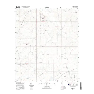
2015 Map of Latimer
USGS Topo · Published 2015About this map
Latimer and the surrounding piney woods of Jackson County are defined by a complex network of coastal tributaries and historic timberlands. The landscape is dominated by the Desoto National Forest, where a grid of rural roads like Old Biloxi Rd and University Rd provide access to the interior. Waterways such as Bluff Creek and Bayou Costapia wind through the terrain, illustrating the low-lying drainage patterns typical of the Mississippi Gulf Coast hinterlands.
Find a feature on this map
85 named features on this map. Tap any name to fly to it.
Don’t see what you’re looking for? This feature index may not catch every label — zoom into the map to look around manually.
Map Details
Editions of this 2015 Latimer Map
This is the sole edition of this map. No revisions or reprints were ever made.
Other maps of this area

1941 · Vancleave
USGS Topo · 1:62,500

1943 · Pascagoula
USGS Topo · 1:62,500

1943 · Vancleave
USGS Topo · 1:62,500

1944 · Vancleave
USGS Topo · 1:62,500

1953 · Mobile
USGS Topo · 1:250,000

1954 · Vestry
USGS Topo · 1:62,500

1954 · Ocean Springs
USGS Topo · 1:24,000

1954 · Biloxi
USGS Topo · 1:24,000

1954 · Biloxi
USGS Topo · 1:62,500

1955 · Pascagoula
USGS Topo · 1:62,500