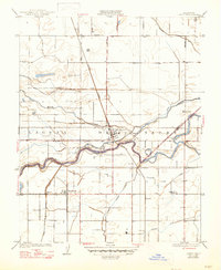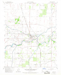
1953 Map of Laton
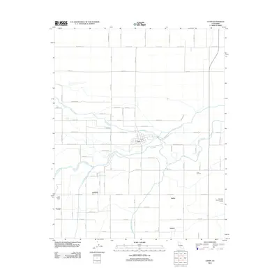
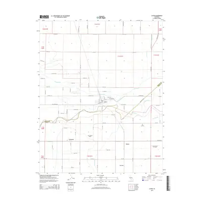
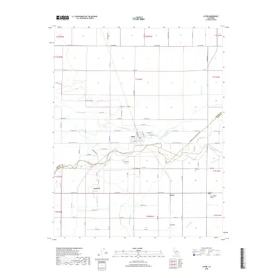
USGS Topo · Published 1968About this map
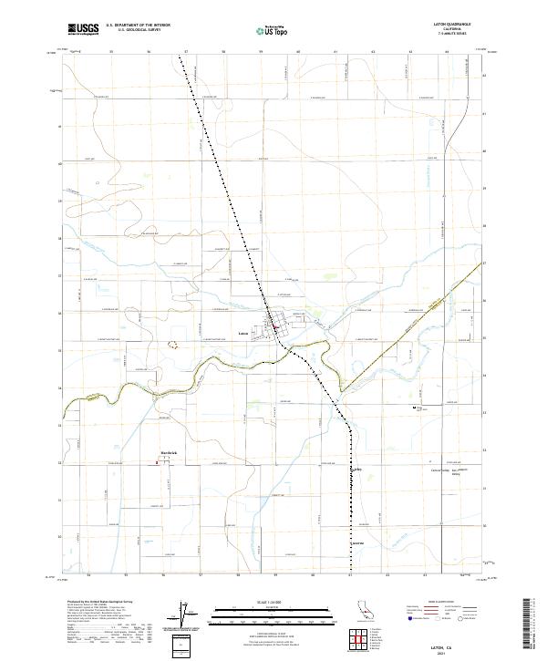
The Kings River divides the landscape into a complex network of waterways and irrigation infrastructure south of Fresno. This region is defined by the historic Laguna De Tache Grant Boundary, where early 20th-century agriculture flourished alongside the Atchison Topeka and Santa Fe railroad. The map identifies the site of the Mussel Slough Tragedy Historical Marker, a significant site in California's land rights and railroad history. Small agricultural hubs like Laton and Hardwick serve as the primary settlements, supported by an intricate system of channels including Cole Slough, Murphy Slough, and the Peoples Ditch. Local civic life is evidenced by the Kings River Cemetery and rural education centers such as Grant School and Kings River School.
Find a feature on this map
34 named features on this map. Tap any name to fly to it.
Don’t see what you’re looking for? This feature index may not catch every label — zoom into the map to look around manually.
Map Details
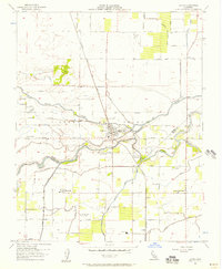
Editions of this 1953 Laton Map
3 editions found
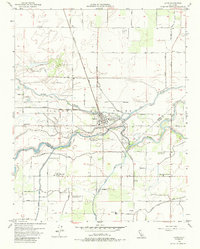
Historical Maps of Laton Through Time
6 maps found