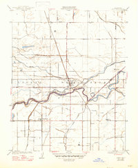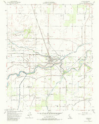
1953 Map of Laton
USGS Topo · Published 1988About this map
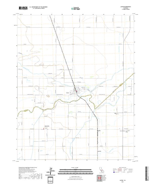
The Kings River meanders across the border of Fresno and Kings counties, anchoring a fertile agricultural landscape defined by an intricate network of sloughs and ditches. At the heart of this valley floor, Laton serves as a central hub, its residential streets organized around the Laton High Sch and the Atchison Topeka and Santa Fe railroad line. The map captures the specialized irrigation character of the region, where Murphy Slough and Cole Slough divert water to support local agriculture and industry, including a Winery located near Lucerne.
Find a feature on this map
31 named features on this map. Tap any name to fly to it.
Don’t see what you’re looking for? This feature index may not catch every label — zoom into the map to look around manually.
Map Details
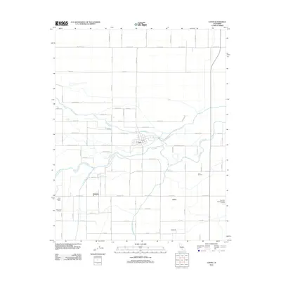
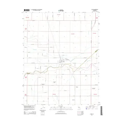
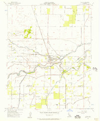
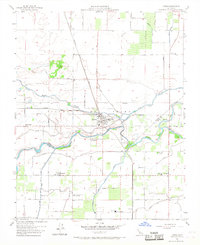
Editions of this 1953 Laton Map
3 editions found
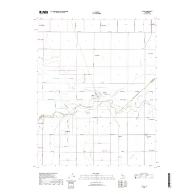
Historical Maps of Laton Through Time
6 maps found