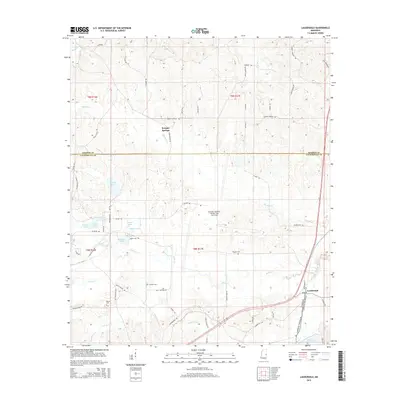
2015 Map of Lauderdale
USGS Topo · Published 2015About this map
Kemper Springs and the surrounding borderlands of East Mississippi are defined by a complex network of creeks and small, private lakes. This 2015 survey highlights the rural character of the area where the Kemper Co Lauderdale Co line divides the landscape. Numerous family-named roads like Leroy Moore Rd and Hogeye Rd weave through the timberlands, providing access to isolated homesteads and several small family burial grounds, including Segars Cem and Gordon Cem.
Find a feature on this map
70 named features on this map. Tap any name to fly to it.
Don’t see what you’re looking for? This feature index may not catch every label — zoom into the map to look around manually.
Map Details
Editions of this 2015 Lauderdale Map
This is the sole edition of this map. No revisions or reprints were ever made.
Other maps of this area

1921 · Meridian
USGS Topo · 1:48,000

1923 · Meridian
USGS Topo · 1:62,500

1953 · Meridian
USGS Topo · 1:250,000

1957 · Meridian
USGS Topo · 1:250,000

1962 · Daleville
USGS Topo · 1:24,000

1962 · Lauderdale
USGS Topo · 1:24,000

1962 · Lauderdale NW
USGS Topo · 1:24,000

1962 · Oak Grove
USGS Topo · 1:24,000

1965 · Meridian
USGS Topo · 1:250,000

1971 · Meridian North
USGS Topo · 1:24,000