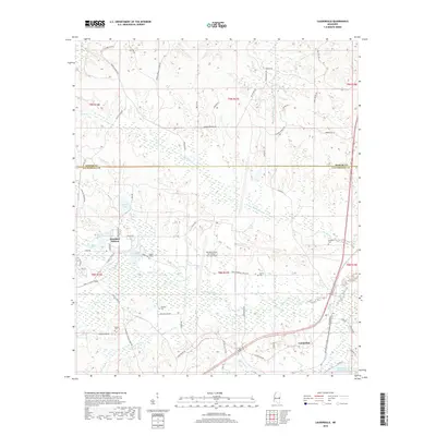
2018 Map of Lauderdale
USGS Topo · Published 2018About this map
Meridian Naval Air Station (McCain Field) serves as a central landmark for this portion of the Mississippi-Alabama borderlands, illustrating the footprint of military aviation infrastructure within the rural landscape of Lauderdale and Kemper counties. The map details a transition from the operational airfield at Meridian Station to a countryside defined by small-scale agriculture and timber, evidenced by the dense network of local roads like Kemper Springs Rd and Hogeye Rd. Numerous family and community burial grounds, such as Clayton Cem, Segars Cem, and Gordon Cem, are scattered throughout the hills, providing valuable points of reference for genealogists tracing local lineage.
Find a feature on this map
73 named features on this map. Tap any name to fly to it.
Don’t see what you’re looking for? This feature index may not catch every label — zoom into the map to look around manually.
Map Details
Editions of this 2018 Lauderdale Map
This is the sole edition of this map. No revisions or reprints were ever made.
Other maps of this area

1921 · Meridian
USGS Topo · 1:48,000

1923 · Meridian
USGS Topo · 1:62,500

1953 · Meridian
USGS Topo · 1:250,000

1957 · Meridian
USGS Topo · 1:250,000

1962 · Daleville
USGS Topo · 1:24,000

1962 · Lauderdale
USGS Topo · 1:24,000

1962 · Lauderdale NW
USGS Topo · 1:24,000

1962 · Oak Grove
USGS Topo · 1:24,000

1965 · Meridian
USGS Topo · 1:250,000

1971 · Meridian North
USGS Topo · 1:24,000