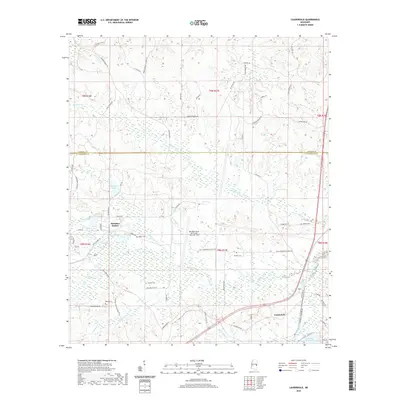
2020 Map of Lauderdale
USGS Topo · Published 2020About this map
Meridian Naval Air Station / Mc Cain Field dominates the central landscape of this East Mississippi survey, positioned just south of the Kemper and Lauderdale county line. This military installation is flanked by several small water bodies including Martha Lake, Caroline Lake, and McElroys Lake, which appear as distinct basins within the surrounding wooded and agricultural terrain. To the southeast, the community of Lauderdale serves as a local hub near the winding course of Little Reed Creek.
Find a feature on this map
73 named features on this map. Tap any name to fly to it.
Don’t see what you’re looking for? This feature index may not catch every label — zoom into the map to look around manually.
Map Details
Editions of this 2020 Lauderdale Map
This is the sole edition of this map. No revisions or reprints were ever made.
Other maps of this area

1921 · Meridian
USGS Topo · 1:48,000

1923 · Meridian
USGS Topo · 1:62,500

1953 · Meridian
USGS Topo · 1:250,000

1957 · Meridian
USGS Topo · 1:250,000

1962 · Daleville
USGS Topo · 1:24,000

1962 · Lauderdale
USGS Topo · 1:24,000

1962 · Lauderdale NW
USGS Topo · 1:24,000

1962 · Oak Grove
USGS Topo · 1:24,000

1965 · Meridian
USGS Topo · 1:250,000

1971 · Meridian North
USGS Topo · 1:24,000